Napoleon in Egypt is a chapter that is quickly told militarily and still has an impact scientifically today. The campaign began in 1798, ended in 1801, lost the fleet, achieved none of its strategic goals, and is considered a failure. What it left behind nevertheless founded an entire discipline.
The reason for this is a decision that was unusual for a military campaign. Accompanying the army was a Commission for Sciences and Arts, a civilian staff of surveyors, draughtsmen, engineers, naturalists, physicians, and linguists. It comprised around 170 members, almost all of whom undertook the journey.
This group did what armies usually do not do: they systematically measured, drew, and described what they found. At Giza, this meant the first survey of the site worthy of the name, and for Europe it meant that the monuments were for the first time presented not as travel anecdotes but as data.
One sentence of context should come first, because otherwise it gets lost. This commission did not travel by invitation but in the train of an invading army. The campaign was a war with battles, occupation, and deaths on both sides, and the scientific achievement arose under exactly these conditions. Both belong together and cannot be cleanly separated: the folio work is a result of research and a result of conquest.
This page covers four things: what was actually done on the plateau, what came of it, why the same process gave rise to both Egyptology and pyramid number mysticism, and why this very expedition is the best counter-evidence to the most famous legend about it.
What the Commission Did on the Plateau
What the commission did on the plateau differs fundamentally from what travellers had done before.
Earlier European visitors had described, estimated, and occasionally drawn. What was missing was a uniform method: who measures where, with which reference point, and how is the result recorded. That is exactly what the commission brought, because it consisted of people who practised surveying as a profession.
On the plateau, this meant three things. First, the monuments were recorded, i.e., ground plans, heights, and slopes were determined, as far as the rubble allowed. Second, views and sections were drawn that document the state around 1800, including the buried areas that no longer exist today. Third, the position in the terrain was mapped, i.e., the relationship of the monuments to each other and to the fertile land.
These surveys are not uniformly accurate. The conditions were difficult, the monuments partly buried, the instruments far inferior to today's, and individual values were later significantly corrected. The authoritative surveys date from the late nineteenth century and from more recent campaigns; anyone working with numbers today does not rely on the plates from 1800. Their value lies elsewhere.
The practical value of these surveys remains considerable to this day, for a reason that has little to do with accuracy. They show a state that no one can see anymore. Between 1800 and today, areas have been excavated, rubble removed, paths laid, and entire districts built. Anyone who wants to know what the terrain looked like before all that looks at these plates.
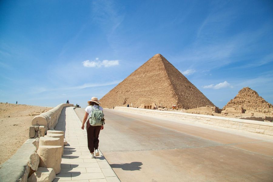
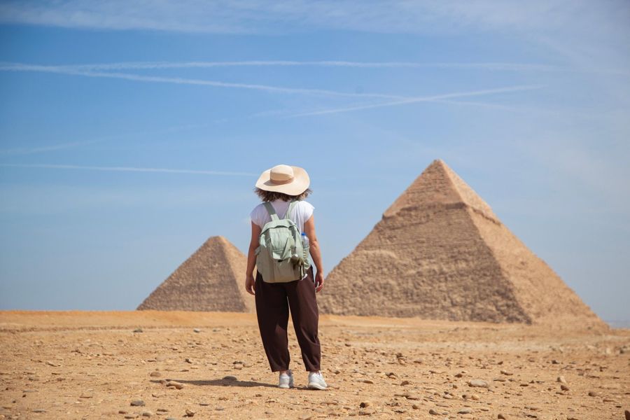
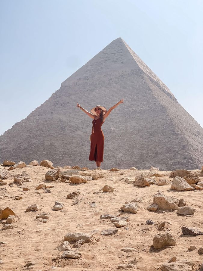
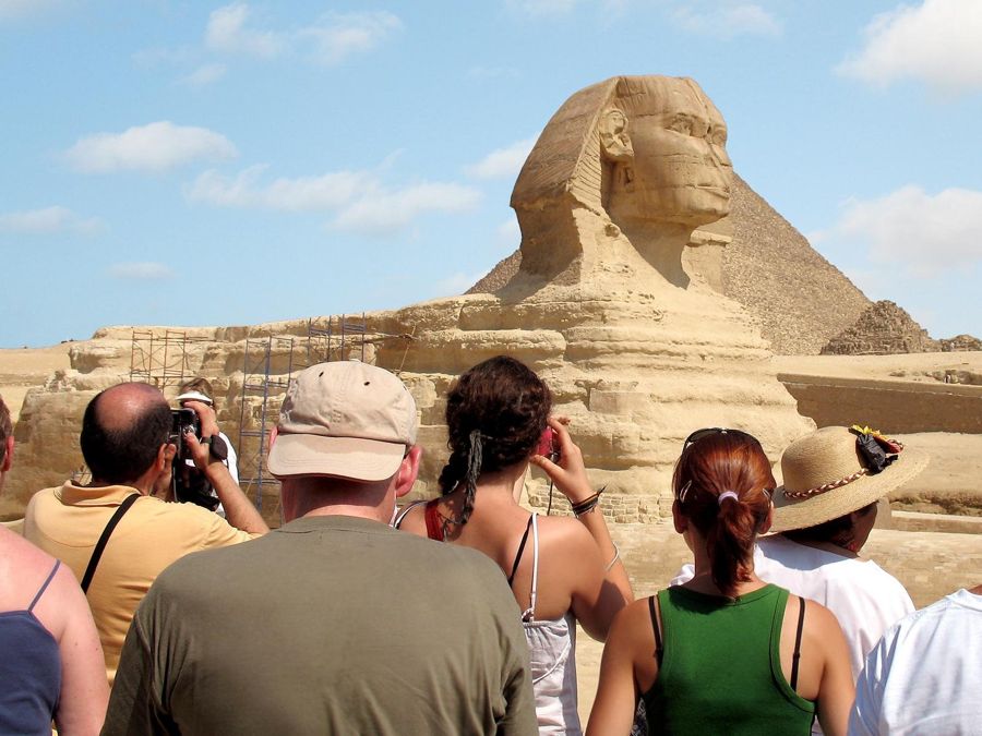
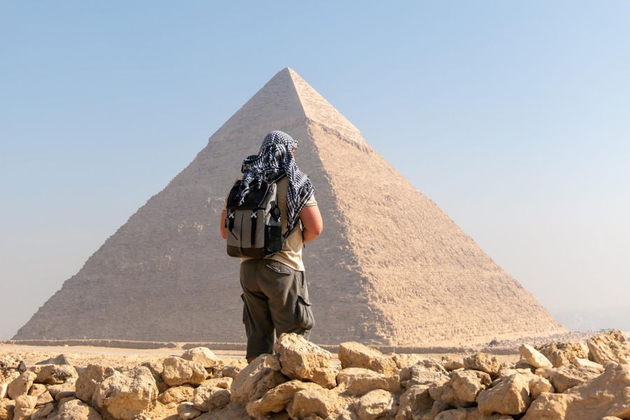
Guided tour with a view of the current state
- The plates from 1800 show buried areas and paths that no longer exist; the comparison is worthwhile on site
- Entry to the site is included; pickup and interior visits are optional extras
- About three hours, German-speaking guide available
- According to the provider, free cancellation up to 24 hours in advance
The Description of Egypt
From this material emerged a work whose creation took almost as long as a generation.
The results appeared under the title Description of Egypt, edited by Edme-François Jomard, with a historical preface by Joseph Fourier. The first volume appeared in 1809, the last around 1829. A special press was built for the printing. The result comprises several hundred plates in several volumes, plus text volumes, and it is still freely accessible in digitized form here.
For its impact, the form was more decisive than the accuracy. For the first time, Egypt lay before Europe as a complete work, with large-format plates, systematically arranged, and available. Anyone interested in this culture no longer had to travel and no longer had to rely on travel reports.
The second gain of the expedition was a find that initially seemed unremarkable. In 1799, during fortification works in the Nile Delta, a stone block was discovered with the same text in three scripts. Without it, the decipherment of hieroglyphs two decades later would not have been possible, and without that decipherment, everything written on Egyptian walls would remain silent to this day. The block itself went to the British after the capitulation and has lain in London ever since, which is a separate, still ongoing issue.
Did Napoleon Shoot at the Sphinx?
Now to the legend for which this expedition is known to most people, and here lies a nice irony.
It is told that French soldiers shot off the Sphinx's nose, either during target practice or out of high spirits. The story is false, and the best evidence against it comes precisely from the expedition itself: its draughtsmen depicted the Sphinx without a nose. They found it that way. Anyone who opens the plates sees the face in exactly the state that the legend attributes to the draughtsmen.
In addition, older pictorial sources show the same, and the condition of the break itself argues against a shot. This is detailed on the page about the nose, which also addresses the question of who it was then and when.
For this page, another question is more interesting: Why does the story persist so stubbornly? Probably because it combines two things that fit well together. There was indeed a European army on site, and there was indeed damage to Egyptian monuments by European hands, but only different and later ones. A story that links a well-known name with a visible damage is easier to remember than a source situation.
Three Claims About the Expedition
- False
French soldiers shot off the Sphinx's nose.
The expedition's draughtsmen depicted the Sphinx without a nose, and older depictions show the same. The damage is significantly older.
- False
Napoleon discovered the pyramids.
They were never lost. What began in 1798 is a systematic survey, not a discovery.
- True
The expedition was a scientific success and a military failure.
Militarily it ended with capitulation, scientifically with a folio work and the find that enabled the decipherment of hieroglyphs.
The Most Uncomfortable Legacy
There remains the most uncomfortable legacy of this expedition, and it is rarely mentioned.
The same editor who was responsible for the folio work intensively studied the measurements of the largest pyramid and tried to derive units of measurement and geographical references from them. From this occupation, a whole tradition developed in the nineteenth century: the idea that the dimensions of the building encoded natural constants, Earth measurements, or prophecies.
This tradition has nothing to do with Egyptology, and its calculations only work because a building with many measurements and a number with many decimal places can almost always be brought together somehow. But it stems from the same impulse that also gave rise to science: the desire to measure this building and find meaning in the numbers.
This is useful for evaluating today's claims. Anyone who comes across a calculation in which the pyramid contains the Earth's circumference or the speed of light sees not a new discovery but the continuation of a two-hundred-year-old occupation. The pages on alternative theories treat this in detail.
The expedition thus initiated both: the discipline that works with evidence and the tradition that plays with numbers. Both go back to the same plates, and they differ not in subject but in method.
- Campaign
- 1798 to 1801, militarily failed
- Civilian commission
- around 170 experts
- Folio work
- published from 1809, last volume around 1829
- Editor
- Edme-François Jomard, preface by Joseph Fourier
- Key find
- the trilingual stone block of 1799, now in London
- Nose legend
- refuted by the expedition's own plates
What Is Visible Today
What of this is visible at the plateau today can be said in two sentences, and the second is the more interesting one.
Nothing of the expedition itself is preserved on site. There is no plaque, no marker, no building. Anyone looking for traces will search in vain, because their contribution consisted of paper.
What is visible, however, is the effect. That the official overview of the site today names and orders individual monuments, temples, and cemeteries, that the complexes bear numbers, and that the entire necropolis stands as an ensemble on the UNESCO World Heritage List presupposes a process that began around 1800: the idea that such a site can be completely recorded, ordered, and described.
The effect is also visible in a habit that no one questions anymore: that one photographs a monument before altering it. The idea of recording the state before an intervention because it would otherwise be irretrievably lost was applied on a large scale for the first time at this site around 1800. Every documentation of a renovation, including the current one, stands in this line.
This idea is self-evident today and was not then. It is the true legacy of the expedition, and it is far more consequential than any legend about a nose.
The expedition to read up on
The folio work itself is digitized and freely accessible, albeit in French and in volumes that one does not leaf through. Anyone who wants to read the history of the expedition and its consequences in context will find German-language comprehensive accounts.
Frequently asked questions
Did Napoleon shoot off the Sphinx's nose?
No. The draughtsmen of his own expedition depicted the Sphinx already without a nose, and older depictions show the same.
What did the expedition do at Giza?
Surveyed, drew, and mapped. This resulted in the first systematic survey of the site.
What is the folio work?
A multi-volume Description of Egypt, published from 1809 to about 1829, with several hundred plates. It is freely accessible in digitized form.
Was the campaign successful?
Militarily no. It ended with capitulation. Scientifically it is considered the beginning of the modern study of Egypt.
Where does the Rosetta Stone come from?
It was found in 1799 in the Nile Delta during fortification works and went to the British after the capitulation.
Can you still see anything of it on site?
No. The expedition's contribution consisted of records, not buildings.