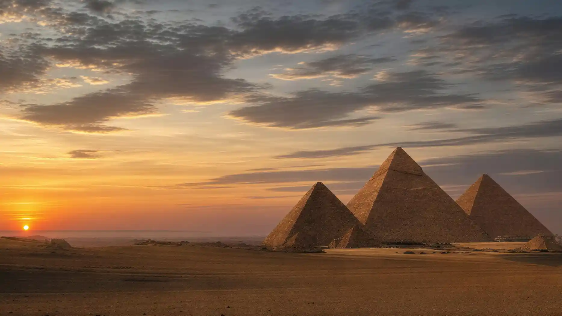
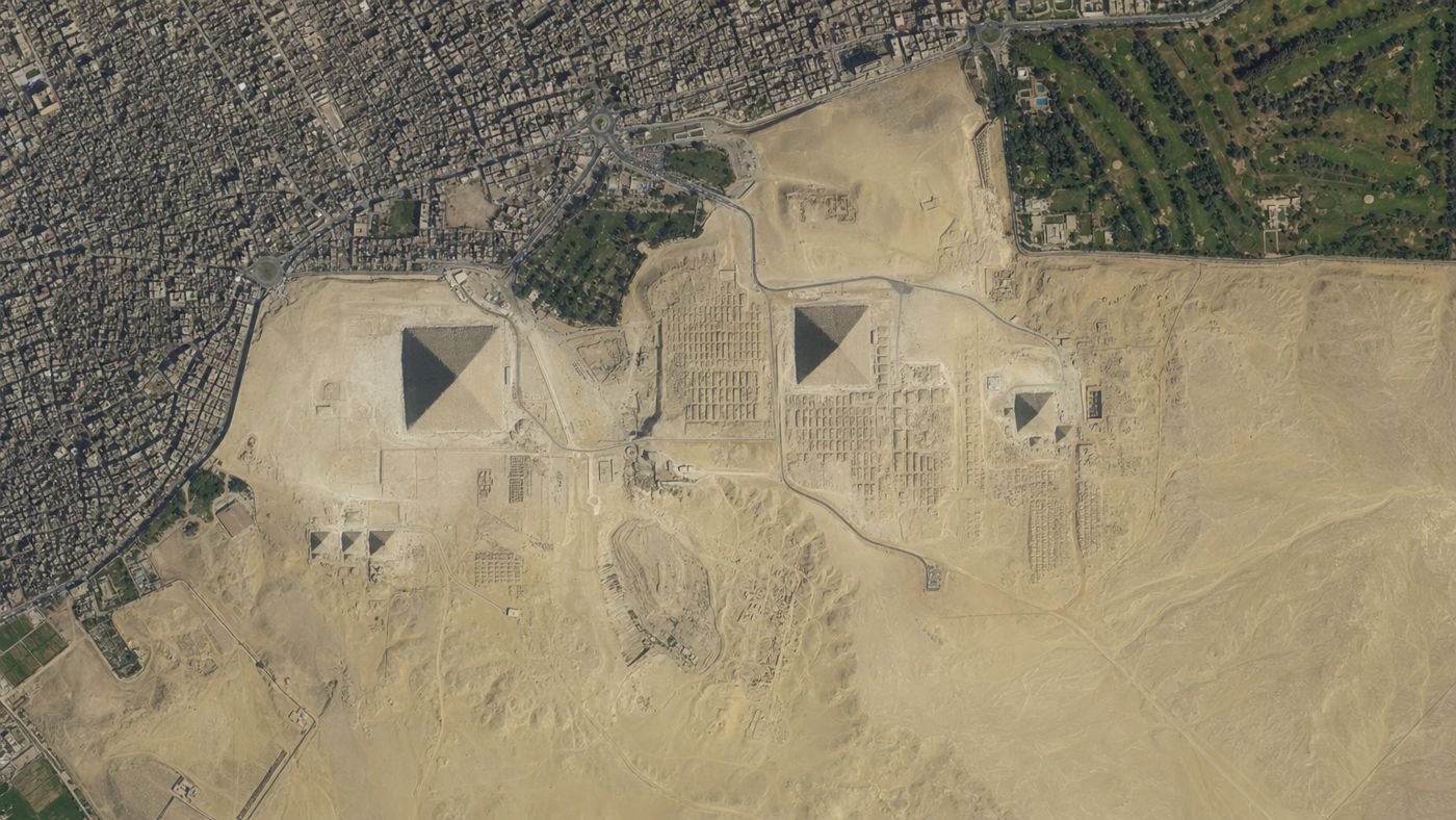
From above, the site looks tidy: three large triangles, a few smaller ones beside them, an elongated shadow at the eastern edge.
That is what you see when you call up the Pyramids of Giza on Google Maps, and that is exactly why the satellite view is a better teacher than any photo. It shows what never fits into a picture at ground level: how the structures relate to one another, how the grave fields lie in rows between them, and how hard the edge is where the city ends and the desert begins.
What the view does not show is the current hustle and bustle. That is where most people fail when they use a map to prepare a trip.
Three ways to view the plateau from your desk
Satellite view
Straight from above, in high resolution, with measuring tools and a scale.
- Good for
- Layout, alignment, distances, the relationship between city and desert.
- Watch out
- Does not show heights or paths you are actually allowed to walk.
Street View
360-degree images taken directly on the site.
- Good for
- A feel for sizes, the ground, and the sightlines.
- Watch out
- The images are over a decade old and show the state before the redesign.
360-degree tours
Walkable models by experts, some even leading into interiors.
- Good for
- Everything Google does not cover, with explanations right where you need them.
- Watch out
- Not a substitute for scale and location; for that you still need the map.
Street View was taken on foot
Searching for Street View Pyramids of Giza leads to images that were actually taken on the site, not from a car. The camera was carried in a backpack, sometimes on a camel, and Google presented the result in September 2014. Covered are the three large pyramids, the queen's pyramids, the Sphinx, and several places outside the plateau.
Not covered is the interior. Anyone hoping to see the ascending passage of the Great Pyramid will not find it there. And because the images date from before the redesign, they show a state that no longer exists: vehicles on the site, the old main gate in the northeast, no electric shuttles. As a historical document that is fascinating. As preparation for a visit, it can lead you astray.
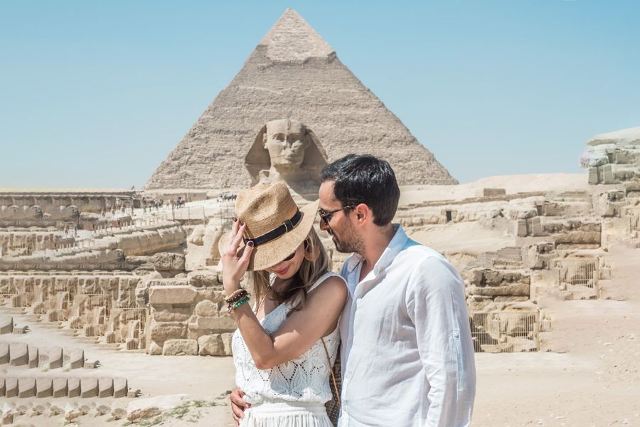
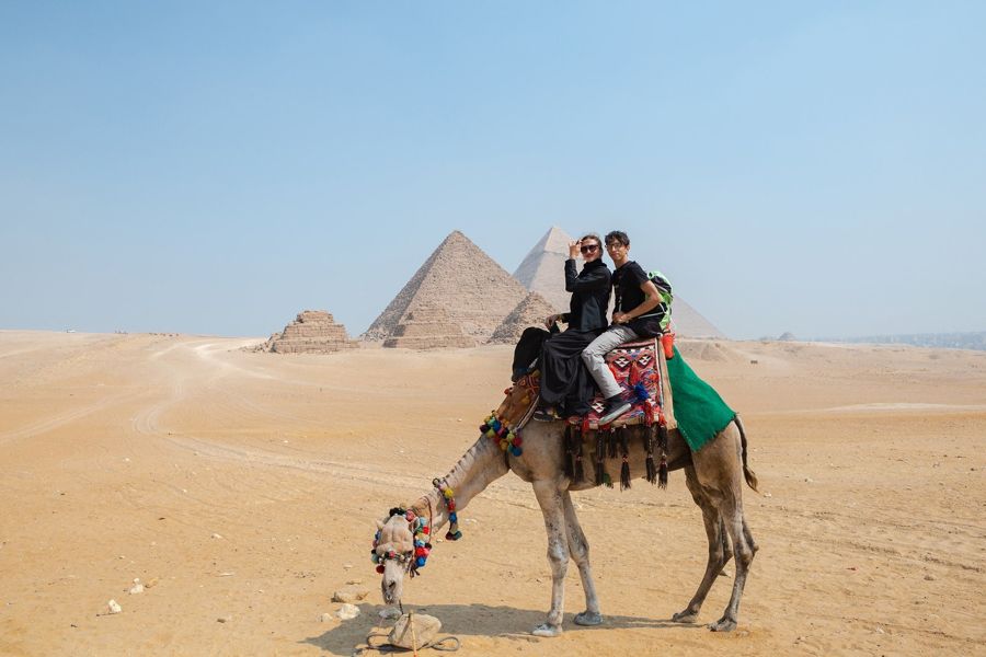
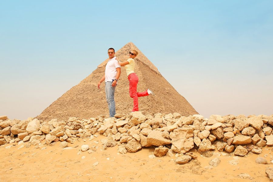
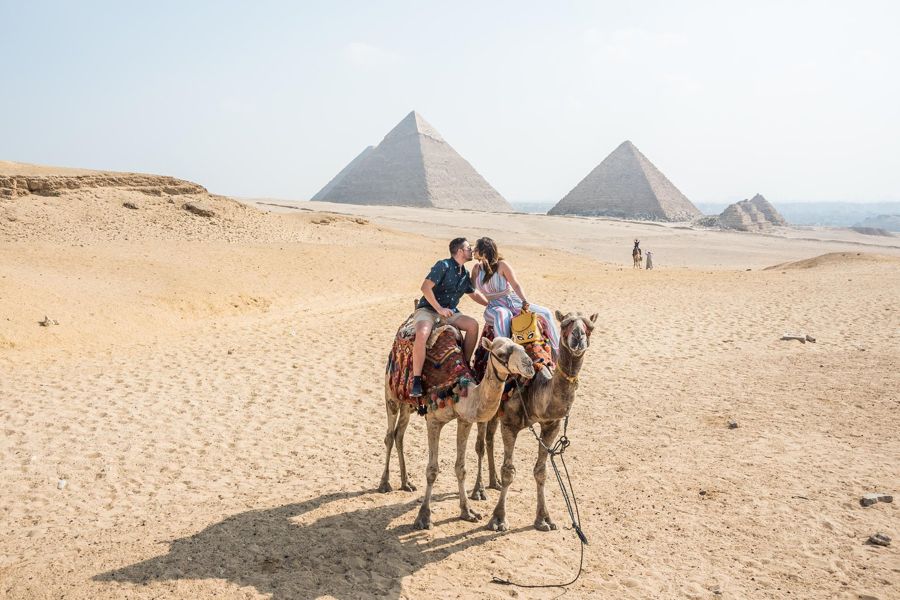
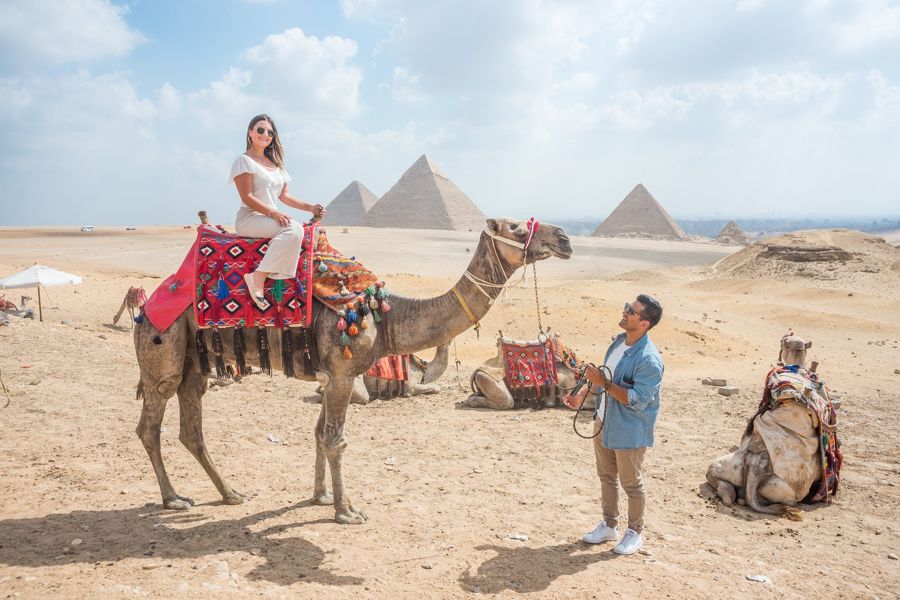
Private half-day tour to the pyramids and the Sphinx
- Hotel pickup, so you do not have to figure out the right gate yourself.
- German-speaking guide who explains the layout on site instead of from above.
- Plateau entry and preferential access at the ticket counter included.
- 4 hours duration, free cancellation up to 24 hours before.
The destination must be a gate
The practical catch lies in the destination. If you search the map for the plateau, you get a marker in the middle of the site, and no road leads there that you are allowed to drive on. Private vehicles and tour buses are not permitted inside the fence.
The correct destination is a gate. Since the redesign, that has been the new main entrance on the desert road toward Fayum, in the southwest, not the old gate in the northeast. Your driver drops you off there and waits outside; from there you continue on foot or by electric shuttle. A driver who knows this change is worth more than any navigation app.
The time slider in Google Earth
If you open the Pyramids of Giza in Google Earth, you get the same satellite data, plus a three-dimensional terrain and a time slider. The slider is the most interesting part of the whole program. It lets you fade in older images, and over two decades you can watch how the construction from the east has moved closer and closer.
Satellite images, however, tempt you into discoveries. Again and again, amateurs report supposedly unknown pyramids, which on expert examination turn out to be eroded hills. A much-cited case from 2012 concerned sites far from the Nile Valley. From above, many things look like an edge and a rectangle.
What satellite images can and cannot do
- Partially
Unknown pyramids can be discovered in satellite images.
Remote sensing is an established tool in archaeology, but only in the hands of experts and always followed by on-site verification. A conspicuous outline on the screen is a clue, not a finding.
- False
The images show the current state of the site.
Satellite images in map services are usually one to three years old; the Street View images here are even over ten years old. Both are an archive, not a live observation.
- Partially
What looks like a straight line from above is indeed one.
The alignment of the structures is indeed remarkably precise. Connecting lines between arbitrary points, on the other hand, arise by themselves when there are enough points and prove nothing on their own.
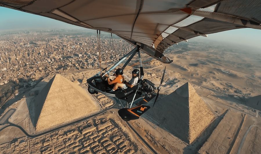
Ultralight flight over the plateau
The real bird's-eye view instead of from orbit: 15 minutes over the site, booked as a private flight.
Is there a live cam?
That leaves the question of a live image. Searching for live cam Pyramids of Giza leads to several streams, but none official. The known cameras stand on the roofs of hotels and guesthouses at the edge of town, deliver a wide panorama during daylight, and occasionally disappear when a building changes provider.
The most honest substitute for a visit is a different one. The Egyptian antiquities administration, together with a digitization project of Harvard University, has published walkable 360-degree tours, including through the interior of the Great Pyramid and into the burial chamber of Queen Meresankh III with its painted walls. Free, high-resolution, with explanations right on the spot. No map view can do that, and that is the reason this page does not end with a map view.