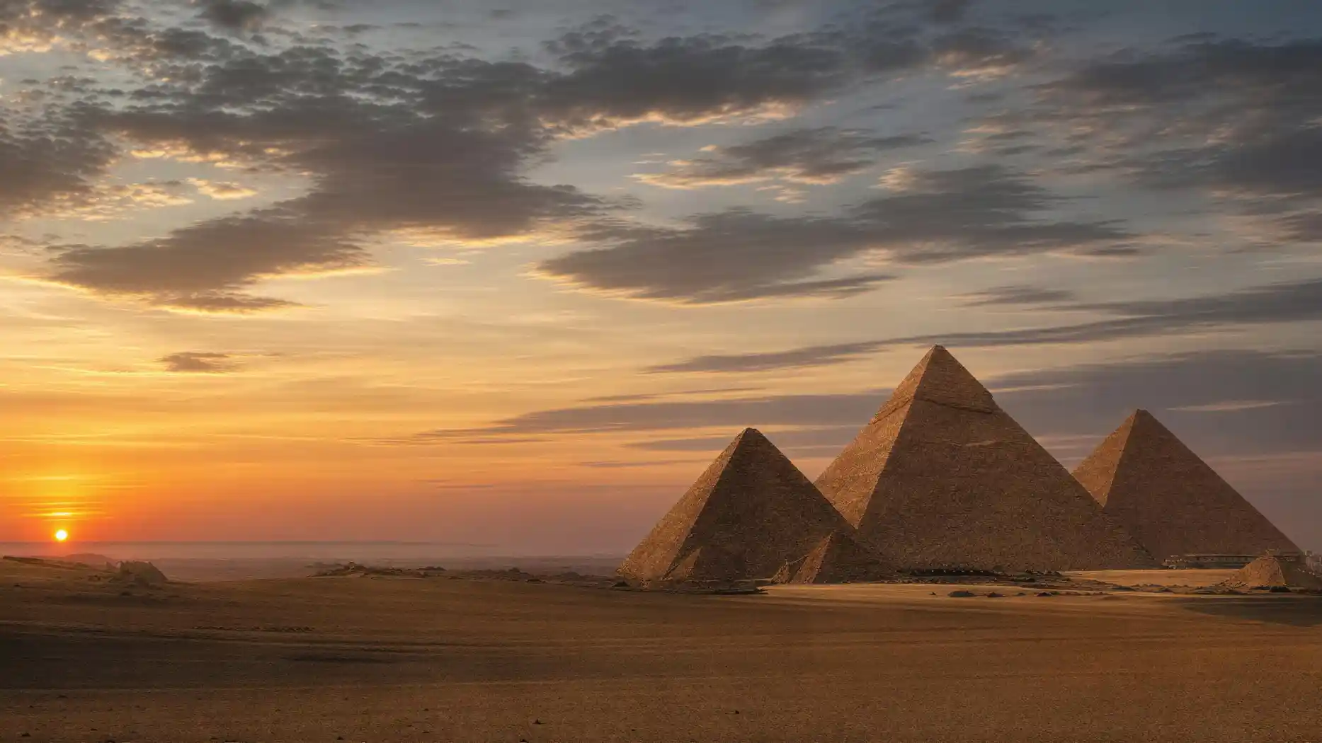
Anyone wanting to see the Pyramids of Giza from above almost always comes across the same images, and hardly any of them come from a drone. There's a simple reason for that: drones have been banned in Egypt since 2015.
The images circulating come from four very different sources, each showing something different. A military flight from the 1930s, Cold War reconnaissance satellites, today's Earth observation satellites, and the handful of aircraft that are legally allowed over the site today.
Knowing these four origins is not about being pedantic. They explain why some images are sharp and oblique and others flat and vertical, why the oldest are often the most interesting, and where you can find usable material without ending up at a stock photo agency that sells you a post-processed rendering.
Four ways an image from above is created
- 1918 to 1939
Military aerial photography. The Royal Air Force systematically photographs along the Nile, including Giza, as part of reconnaissance and mapping.
- February 29, 1936
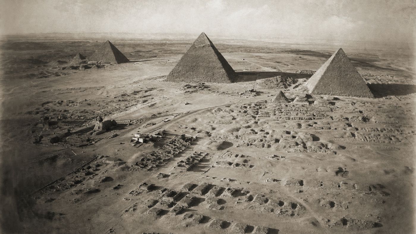
A flight by the Egyptian Air Force provides oblique views of the necropolis that remain in the excavation archive to this day.
- 1960s
Reconnaissance satellites from the Corona program capture the region. The images are now declassified and serve as a benchmark for comparison.
- since 1999
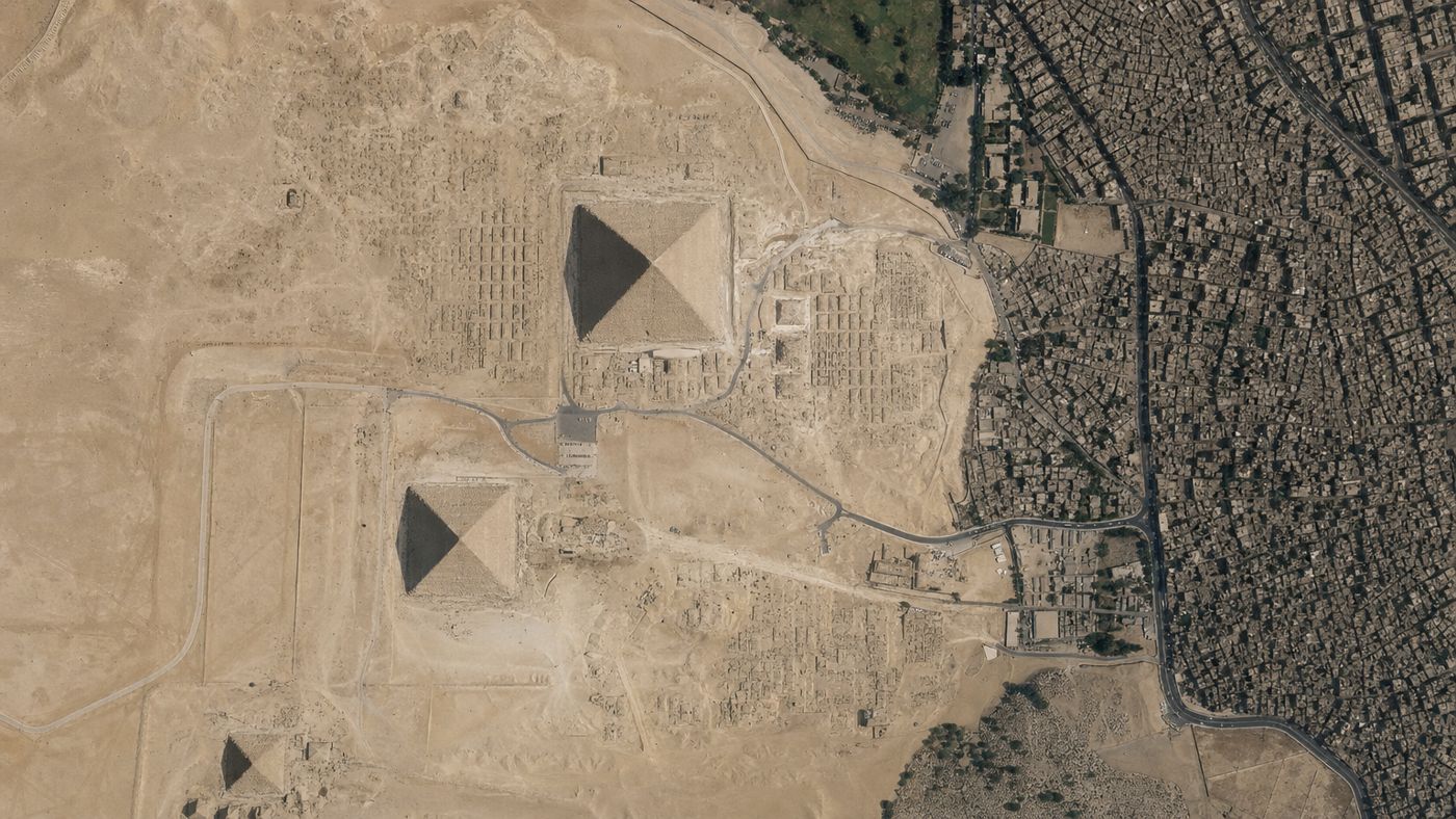
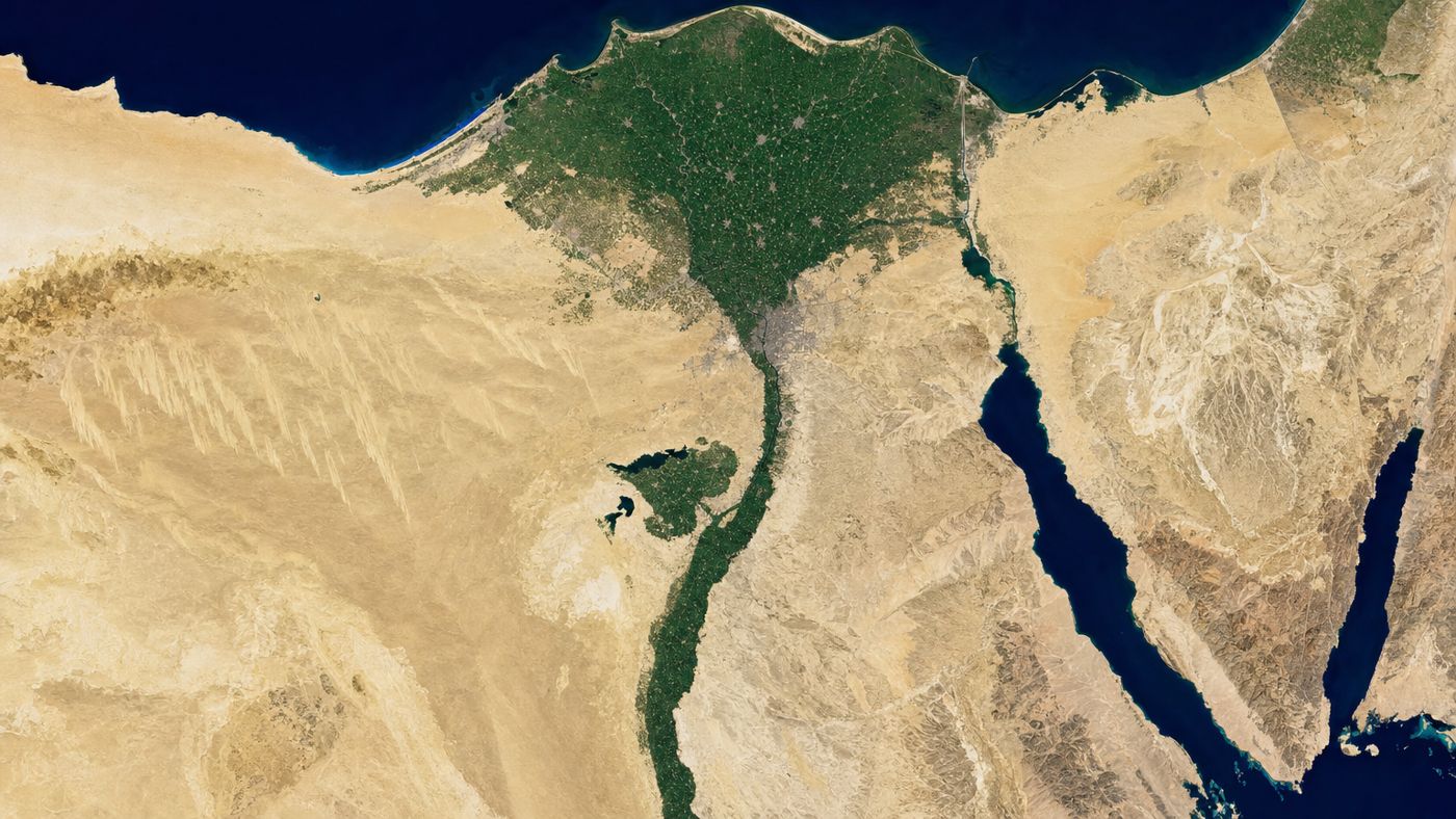
Commercial Earth observation satellites deliver high-resolution vertical images, today supplemented by the Sentinel satellites of the European program.
- today
Only a few aircraft are legally allowed to fly over the plateau. Drones have been prohibited since 2015.
Three things you only see from above
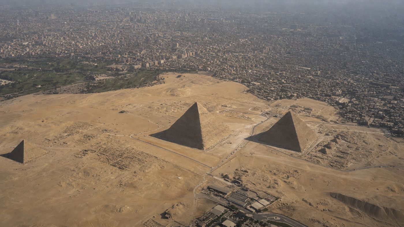
An aerial view of the pyramid complex reveals three things that remain invisible from the ground.
First, the order. The three great structures are not placed randomly but along an axis, and between them the burial fields are laid out in rows like streets. From the ground you see rubble, from above a grid.
Second, the causeways. The connecting lines from the valley temples in the east up to the pyramids are largely destroyed today, but they can still be traced in the vegetation and shadow patterns from the air.
Third, the boundary. The transition from the metropolis to the open desert runs along the fence so sharply that it looks drawn. No photo from the ground tells so honestly where this place lies.
The excavation archive of Harvard University holds aerial and satellite images for exactly these questions, including the oblique views from 1936 and satellite images from 1999 to 2009.
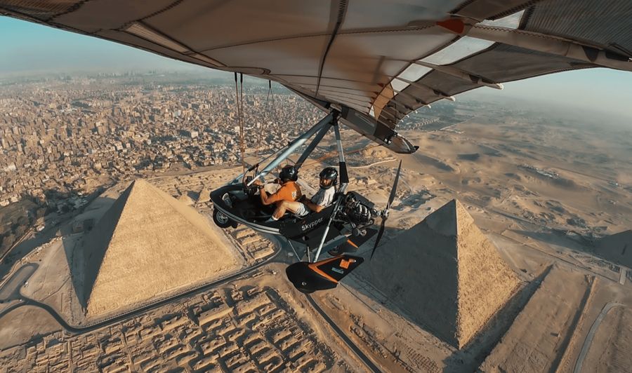
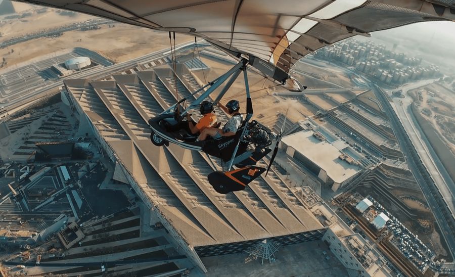
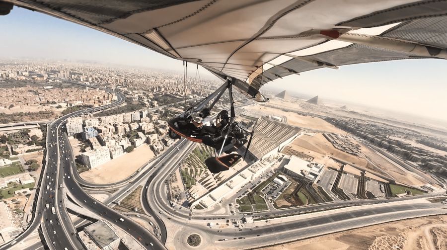
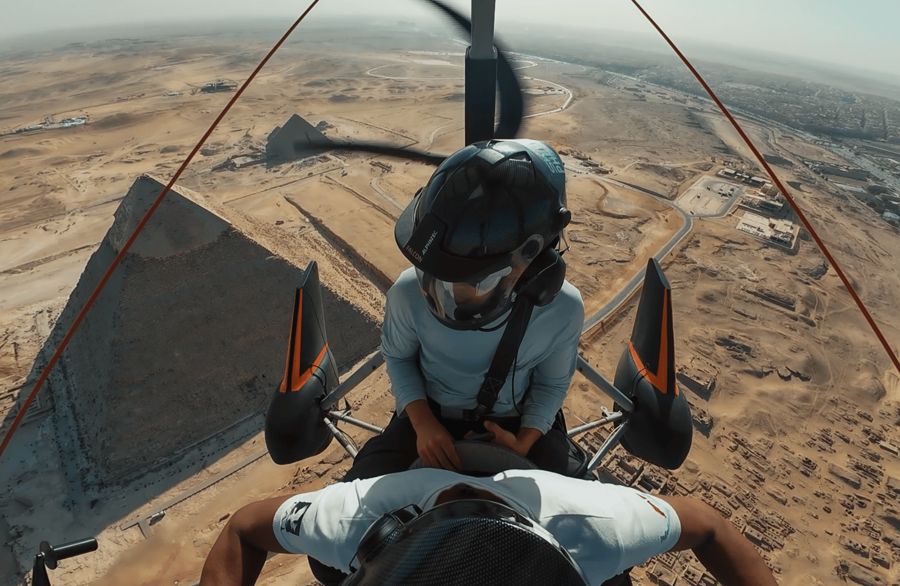
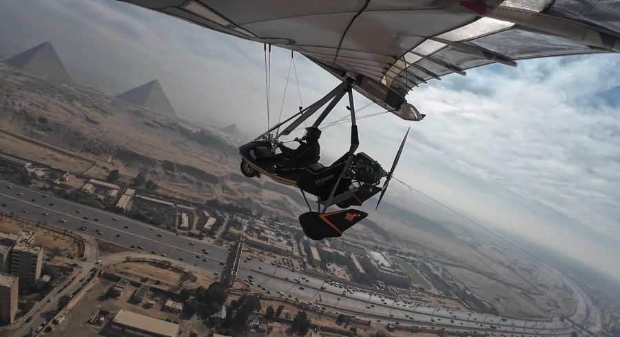
Scenic flight in an ultralight aircraft over the plateau
- The only way to take your own shot from above since drones are out of the question
- About fifteen minutes of flight time over the entire necropolis
- Booked as a private flight, you share the aircraft with no one
- Free cancellation up to 24 hours before start
Four views from above, four statements
Why the old images are more important
Why the old images are more important today than the new ones is the real point of this page.
A top view of the pyramids from 1936 or the 1960s shows a state that no longer exists: less development, intact surfaces, structures that have since been built over or removed. That's exactly why archaeology works with them. The EAMENA project, which documents endangered sites in North Africa and the Middle East, describes how old aerial and satellite images serve as a benchmark to even be able to prove damage and the disappearance of entire sites.
The same project also notes that drones have been banned in Egypt since 2015 and describes what excavation teams use instead: kites, balloons, and camera poles.
Current material today comes mainly from space. In April 2025, the European Space Agency published an image of the area from the Copernicus program, taken on March 25, 2025, on which the pyramids west of the dense urban fabric are clearly visible.
Where you can find usable material
Where you can find usable material depends on what you need it for.
For private use and for lectures, the declassified satellite images from European and American space programs are the most straightforward path because their usage terms are open. For historical images, the way leads through excavation archives and university collections, which are increasingly digitizing their holdings.
What you should avoid are the hits from general image search. A significant portion of what appears there as an aerial view is either a rendering, a montage of several images, or a photo that doesn't even show Giza. You can recognize this by three things: too-perfect symmetry, a missing city in the background, and shadows that don't match.
And if you want your own image, there remains exactly one legal way, and that leads into an aircraft with an instructor.
Frequently asked questions
Am I allowed to fly a drone?
No. Drones have been banned in Egypt since 2015, and even importing one without a permit regularly leads to confiscation.
Where do the oldest aerial photos come from?
From military flights. The Royal Air Force photographed along the Nile between 1918 and 1939, and a photo by the Egyptian Air Force from February 29, 1936, remains in the excavation archive to this day.
Why are old images valuable for research?
Because they show a state that no longer exists. Only the comparison makes damage and built-over areas provable.
Are current satellite images freely accessible?
Yes. The European Copernicus satellites regularly provide images, and the space agency publishes selected images with dates.