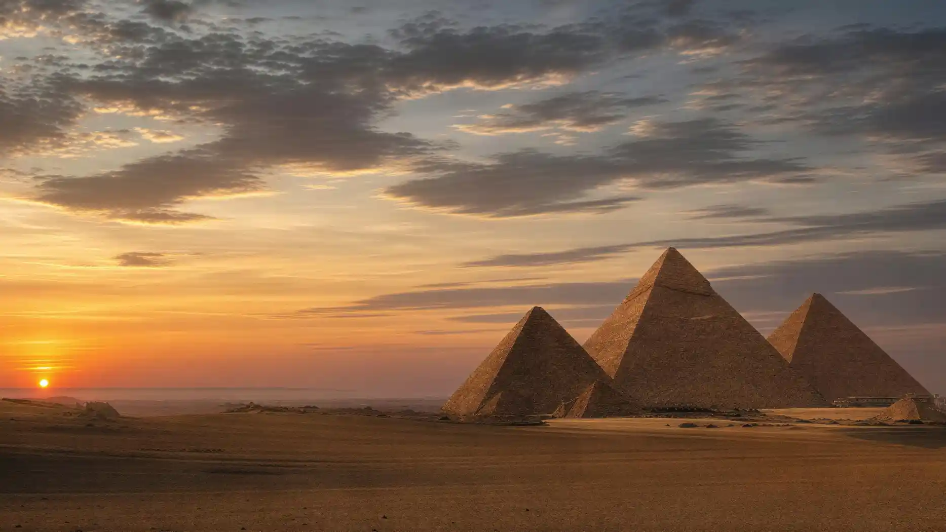
The Pyramids of Giza are in Egypt, on the western edge of Greater Cairo, on a limestone plateau at the edge of the desert.
That is the short answer. It already contains what surprises most people: these structures are not remote. They are next to a city.
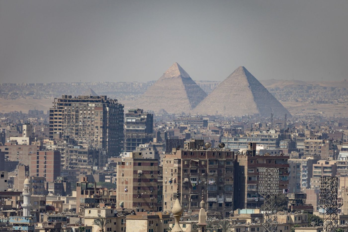
In almost all photos, you see sand, sky, and nothing else. That is not a fake, but a matter of the direction you look. If you photograph to the west and southwest, you indeed have open desert behind the structures. If you turn around and look east, you see residential blocks, traffic, antennas, and the haze over a metropolis with over twenty million people.
Both are true, and the combination is the real character of the place. The plateau is an edge. On one side, the city ends; on the other, the Sahara begins, and the border runs almost exactly where the structures stand.
That was already the intention in ancient times. The Egyptians settled in the fertile land by the river and buried their dead in the desert behind it, where nothing grows and nothing floods. A necropolis belonged at the edge, not in the distance.
What has changed is the size of the city. Where fields once reached the foot of the slope, houses now stand.
The Location at a Glance
- Giza PlateauThe three pyramids and the Sphinx, on the western edge of the built-up area
- Main EntranceNew visitor center in the southwest, on the desert road to Fayyum
- Sphinx GateEastern access, directly at the city, without a ticket counter
- Grand Egyptian MuseumA few minutes' drive northeast of the plateau
- Cairo CenterOn the other side of the Nile, about 15 to 20 kilometers away
- NileThe dividing line between Cairo in the east and Giza in the west
From Egypt to the West Bank
In order, from large to small.
The country is Egypt, in the northeast of Africa. The continent is Africa, even though part of Egypt, the Sinai Peninsula, geographically already belongs to Asia. Giza lies far to the west of that, so clearly on African soil.
Within Egypt, it is about the north, the Nile Delta, and the point where the river begins to fan out. Exactly there lies Cairo, and exactly there, opposite, lies Giza.
To place the location more precisely, a look at the basic structure of the country helps. Egypt consists practically entirely of two elements: a narrow green band along the Nile, which is never more than a few kilometers wide, and desert on both sides of it. Ninety percent of the population lives on a few percent of the area, because outside the river valley, agriculture is impossible. Where the Nile fans out into the delta north of Cairo, Upper and Lower Egypt meet, and this point has been the country's most strategically important since the unification of the kingdom. The ancient capital Memphis lay exactly there, a few kilometers south of today's Giza, and the royal necropolises were built on the desert edge beside it.
Crucial is the side of the river. The Nile flows from south to north, and Cairo's historic center lies on its east bank. The pyramids stand on the west bank. Whoever comes from the center always crosses the river.
This western location is no coincidence, but religious logic. The sun sets in the west, and for the ancient Egyptians, the west was the realm of the dead. All major necropolises of the Old Kingdom therefore lie on the west side, from Abu Roash in the north over Giza and Saqqara to Dahshur in the south.
The entire chain of these pyramid fields has been on the UNESCO World Heritage List since 1979, under the title "Memphis and its Necropolis." Giza is the best-known, but not the only section.
Distances and Realistic Travel Times
The kilometer figures are stable, the times are not. In Cairo, traffic decides.
| From | Distance | Without Traffic | At Rush Hour |
|---|---|---|---|
| Cairo Center, Tahrir Area | about 15 to 20 km | 30 to 45 minutes | an hour or more |
| Cairo International Airport | about 45 km | 60 to 90 minutes | up to two hours |
| Grand Egyptian Museum | a few kilometers | under 15 minutes | 20 to 30 minutes |
| Saqqara | about 20 km south | 40 to 60 minutes | considerably more |
| Hotels directly at the plateau | walking distance to a few minutes | possible on foot | unchanged |
- Distance
- about 15 to 20 km
- Without Traffic
- 30 to 45 minutes
- At Rush Hour
- an hour or more
- Distance
- about 45 km
- Without Traffic
- 60 to 90 minutes
- At Rush Hour
- up to two hours
- Distance
- a few kilometers
- Without Traffic
- under 15 minutes
- At Rush Hour
- 20 to 30 minutes
- Distance
- about 20 km south
- Without Traffic
- 40 to 60 minutes
- At Rush Hour
- considerably more
- Distance
- walking distance to a few minutes
- Without Traffic
- possible on foot
- At Rush Hour
- unchanged
Rush hours in Cairo are roughly between eight and ten in the morning and between five and eight in the evening. If you have a flight to catch, plan generously.
Own City, Own Governorate, One Metropolitan Area
Remains the question: where is Giza in Egypt as a place, and is it Cairo or not?
Administratively, it is not Cairo. Giza is its own city and at the same time the capital of its own governorate of the same name. The city has several million inhabitants, the governorate significantly more.
The figures are larger than most expect. The city of Giza alone has several million inhabitants and would be one of the largest cities in Europe. The governorate of the same name, which extends far to the south and west, has a multiple of that. Whoever speaks of Giza thus means, depending on the context, a district at the foot of the plateau, a metropolis, or an administrative unit the size of a small federal state.
Practically, you notice nothing of this. Cairo and Giza have grown together structurally, separated only by the river, and several bridges connect both sides. For visitors, the whole thing behaves like a single city, similar to Budapest or the twin cities on the Rhine.
The entire metropolitan area is called Greater Cairo and is among the largest in the world. This number includes Cairo, Giza, and other suburbs on both banks.
For finding accommodation, it is worth distinguishing three areas. First, the immediate neighborhood of the plateau, where small hotels and guesthouses advertise views of the structures and you can stand at the gate on foot in the morning. Second, the wider Giza along the main axes, well connected, but without a view and with noticeable travel time. Third, Cairo's center on the east bank, which is ideal for museums, bazaar, and old town, but means a longer drive to the plateau every day. None of these options is wrong; they just cost different amounts of time.
For orientation, this means: if a hotel advertises with "Cairo," it can be twenty kilometers from the plateau. If it advertises with "Giza," it is usually significantly closer, but Giza is a metropolis and extends far to the south. The useful information is not the city name, but the distance to the plateau.
And one more detail that matters in everyday life: both lie in the same time zone and share the same traffic. A drive from Giza to Giza can take longer than a drive from Cairo's center if it goes across the city.

Private airport transfer from Cairo Airport to any location in Giza
- Drives to an address in Giza, not just to the outskirts of Cairo, which can be the difference between twenty minutes and an hour and a half
- Private vehicle, no shared transport, and the price is fixed at booking
- Free cancellation, booking and confirmation immediately
- Product page and booking in German; the provider says nothing about the driver's language
The Plateau Is a Rock Step, Not a Hill
The plateau itself is a geological formation and not an artificial hill.
It is a limestone step that rises from the plain and transitions to the west into the desert. The structures stand on its upper edge, about sixty meters above the level of the river valley. This height is the reason the pyramids are visible from large parts of the city.
The area does not slope evenly. The northeastern edge is lower, and exactly there, in a hewn depression, lies the Sphinx. Whoever goes from the Sphinx to the pyramids walks uphill, and in summer you notice that.
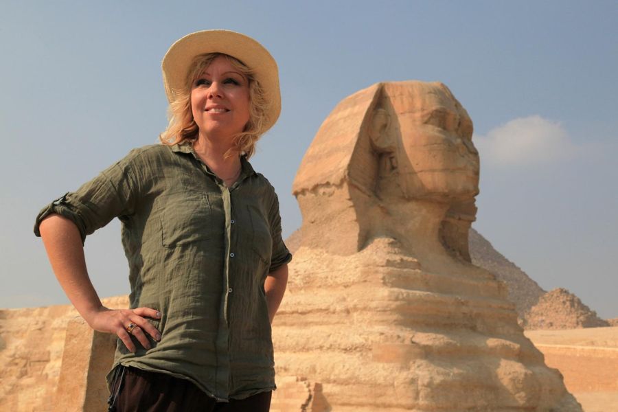
Geologically, this step consists of limestone that formed about fifty million years ago as marine sediment. You can see it in the blocks themselves: in the cut surfaces, there are masses of fossil shells and remains of small marine organisms, partly visible to the naked eye. The layers are of different hardness, and this stratification still decides today which building parts are well preserved and which weather. The head of the Sphinx sits in a harder layer than its body, and that is exactly why the face is better preserved than the body.
The rock was both foundation and building material. The core blocks of the pyramids come from quarries a few hundred meters south of the Great Pyramid of Khufu, and the quarry edges are still visible today. A place where foundation and material coincide saves enormous transport routes.
This elevation has a practical side effect that many underestimate: wind. On the edge, there is almost always a breeze, and that is a real relief in summer compared to the city below, where the heat accumulates between the houses. But it also means sand in the air, in the camera, and in the eyes. If you have sensitive lenses with you, better not change them up on the plateau.
To the west, open desert follows, without buildings, far beyond the horizon. That is why sunset photos from the plateau work so well and why quad tours lead there.
To the east, on the other hand, the protected area ends at a wall, and behind it, inhabited area begins immediately. How strongly this ratio has shifted over the decades can be documented with satellite images.
Why Exactly Here Was Built
Remains the question why exactly here. That a necropolis had to lie on the west side explains only the direction, not the place.
The plateau offered three things at once, and this combination is rare. First, load-bearing rock as a foundation, which is no side issue for a structure of several million tons. A subsoil of alluvial land would not have taken the load without settling, and settling would have been fatal with this geometry.
Second, the building material lay directly below. The core blocks, that is, about ninety percent of the built mass, come from quarries on the plateau itself. Only the fine outer cladding came from Tura on the other side of the Nile and the granite from Aswan. A building site that brings its own quarry saves the largest single item of any ancient large construction site.
Third, water was within reach. And here the picture has shifted in recent years. In 2024, with radar satellite data and drill cores, a buried Nile branch was proven that once ran along the entire pyramid belt. Crucial is a detail: the pyramid causeways, those covered ramps between valley temple and structure, run across its course and end exactly at its former bank. The evidence published in Communications Earth and Environment thus explains not only the transport of heavy loads, but also the choice of location itself.
The river later migrated east and silted up, among other things due to a long dry phase. What today looks like a desert location was a riverside location at the time of construction. The pyramids did not stand at the edge of the inhabited world, but on a waterway, and their valley temples were harbor buildings.
Thus the geography suddenly makes sense. Solid rock, quarry on site, water connection for everything that came from farther away, and a capital in sight. One could hardly have chosen the place better.
Where You Actually Arrive Since 2025
Where exactly you arrive has changed in 2025, and that is the most important practical information on this page.
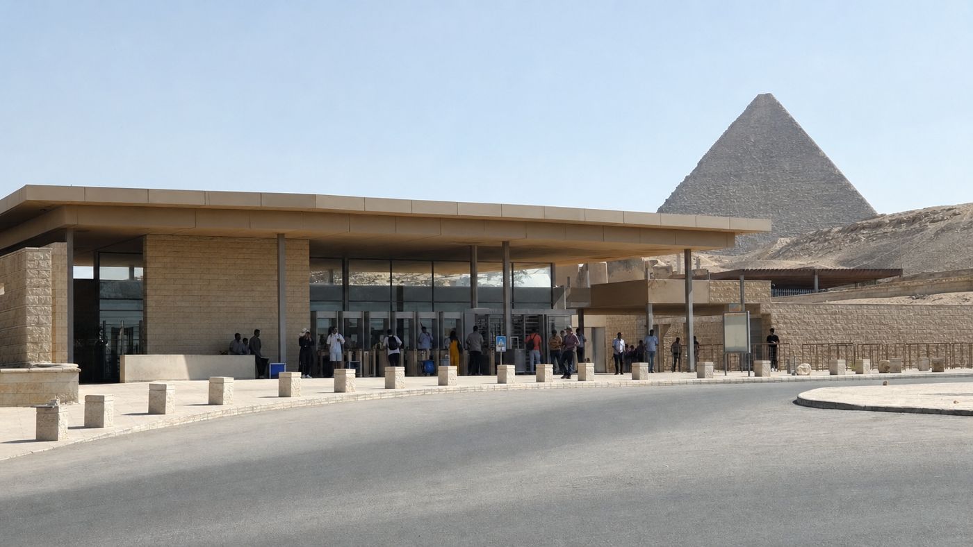
The main entrance is no longer at the old gate near the Mena House in the northeast. It is now at a new visitor center in the southwest, on the desert road to Fayyum. There are counters, ticket machines, parking for buses, and the starting point of the shuttle buses.
The eastern Sphinx Gate is still open. It lies directly at the city and is the closest access for pedestrians from the neighborhood. However, it has no ticket counter. If you arrive there without a purchased ticket, you cannot get in.
Why the entrance was moved at all becomes clear when you imagine the old situation. The former main gate lay in the middle of the built-up area, on a narrow street where tour buses, taxis, horse carriages, camel guides, and local traffic blocked each other. A visitor center on the desert road in the southwest has the advantage that it lies outside this bottleneck and offers space for parking and processing. For residents, a lot has also changed because a considerable part of the tourist traffic is now routed around the outside.
For the approach, this means two things. First: tell your driver the gate, not just the destination. "To the pyramids" is no longer sufficient information. Second: buy in advance if you want to use the eastern gate, for example via the official portal of the Ministry of Antiquities.
In addition, private vehicles are no longer allowed on the plateau. Your driver drops you off at the gate and waits outside. Up there, you move on foot or with the electric shuttle, whose use is included in the entrance fee.
Whoever knows these three points has already avoided the largest part of the approach problems that older travel guides still struggle with.
Plateau entrance as QR code on your phone
Mainly intended for the eastern gate, which has no counter: buy the ticket in advance, show the code, go in.
Part of the Complex Lies Under the City
A detail about the location says more about this place than any distance figure: part of the ancient complex lies under the modern city.
Each great pyramid had a valley temple at the bottom near the former riverbank, connected by a covered causeway. In the case of Khafre, this valley temple still stands, right next to the Sphinx, and can be visited.
In the case of Khufu, it has not disappeared. It lies buried under the houses of the district that adjoins the plateau to the east. Parts of it have been cut into and documented during construction work, but the structure cannot be excavated because people live above it.
That is the location of Giza in one sentence: the border between monument and city does not run at the fence, but across the ground.
Accordingly, dealing with it is difficult. Since the 1980s, there have been building prohibition zones around the protected area, but they have only been partially enforced, and court decisions have confirmed existing houses. This is not a failure of an authority, but a real conflict of goals between monument protection and the living space of grown neighborhoods.
Similar applies to the causeway of Khufu. It connected valley temple and pyramid over several hundred meters and was a covered corridor with decorated walls. Of it, a short section is preserved above ground; the rest lies under the same development. Arab travelers of the Middle Ages described this causeway as one of the most impressive structures of the complex, long before anyone could systematically examine it.
For visitors, the practical effect is harmless but visible. From some viewpoints, residential houses are in the picture, and that cannot be argued away. Whoever wants the clean desert motif goes west.
Which tour length makes sense depends mainly on how far your accommodation is. Whoever comes from the center spends a considerable part of the day in the car.
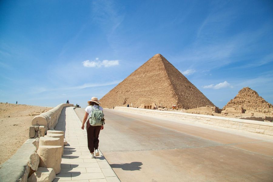 Start in Giza
Short and on Foot
- Plateau entry
- English-speaking guide
- Hotel pickup as an add-on
- Pyramid interior as an add-on
- Free cancellation up to 24 hours before
Accommodations within walking distance or a few minutes' drive
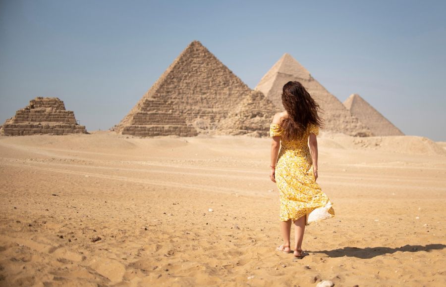 With Pickup
Half-Day Tour with Pickup
- Plateau entry
- English-speaking guide
- Hotel pickup
- Lunch as an add-on
- Pyramid interior
- Free cancellation up to 24 hours before
Accommodations in Cairo center
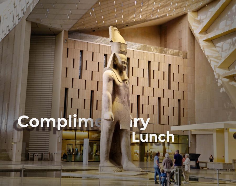 Most Booked
Full Day with Museum
- Plateau entry
- English-speaking guide
- Hotel pickup
- Lunch
- Pyramid interior
- Free cancellation up to 24 hours before
Those who stay farther away and want to make the drive only once
Giza Does Not Stand Alone
To place it in the wider surroundings, Giza does not stand alone.
The pyramid belt stretches over about thirty kilometers along the desert edge, from Abu Roash in the north to Dahshur in the south. In between lie Giza, Zawyet el-Aryan, Abusir, and Saqqara. Together, there are well over a hundred pyramids in varying states of preservation.
Saqqara lies about twenty kilometers south and, with the Step Pyramid of Djoser, is the oldest large structure in this series. Dahshur, even further south, has the Bent Pyramid and the Red Pyramid, on which the transition to the true pyramid form can be read.
The difference between these places is greater than the common designation suggests. Saqqara is a sprawling burial ground with many accessible tombs and significantly less hustle. Dahshur is even quieter and on some days seems almost deserted, but there you get much closer to the structures. Giza is the fullest of all three and at the same time the most impressive, because the structures are the largest. If you have time, see them in this order: first the development in Dahshur and Saqqara, then the result in Giza.
Combining these three places in one day is common and works because they lie on the same axis. You drive along the desert edge and not through the city.
Very close to the plateau, since November 2025, the Grand Egyptian Museum also stands. It is a few minutes' drive away and has changed the geography of the visit: what used to mean a drive across Cairo to the old museum at Tahrir Square is now a short way on the same side of the Nile.
Thus Giza is no longer a half-day destination that you approach from Cairo, but its own area with several destinations side by side.
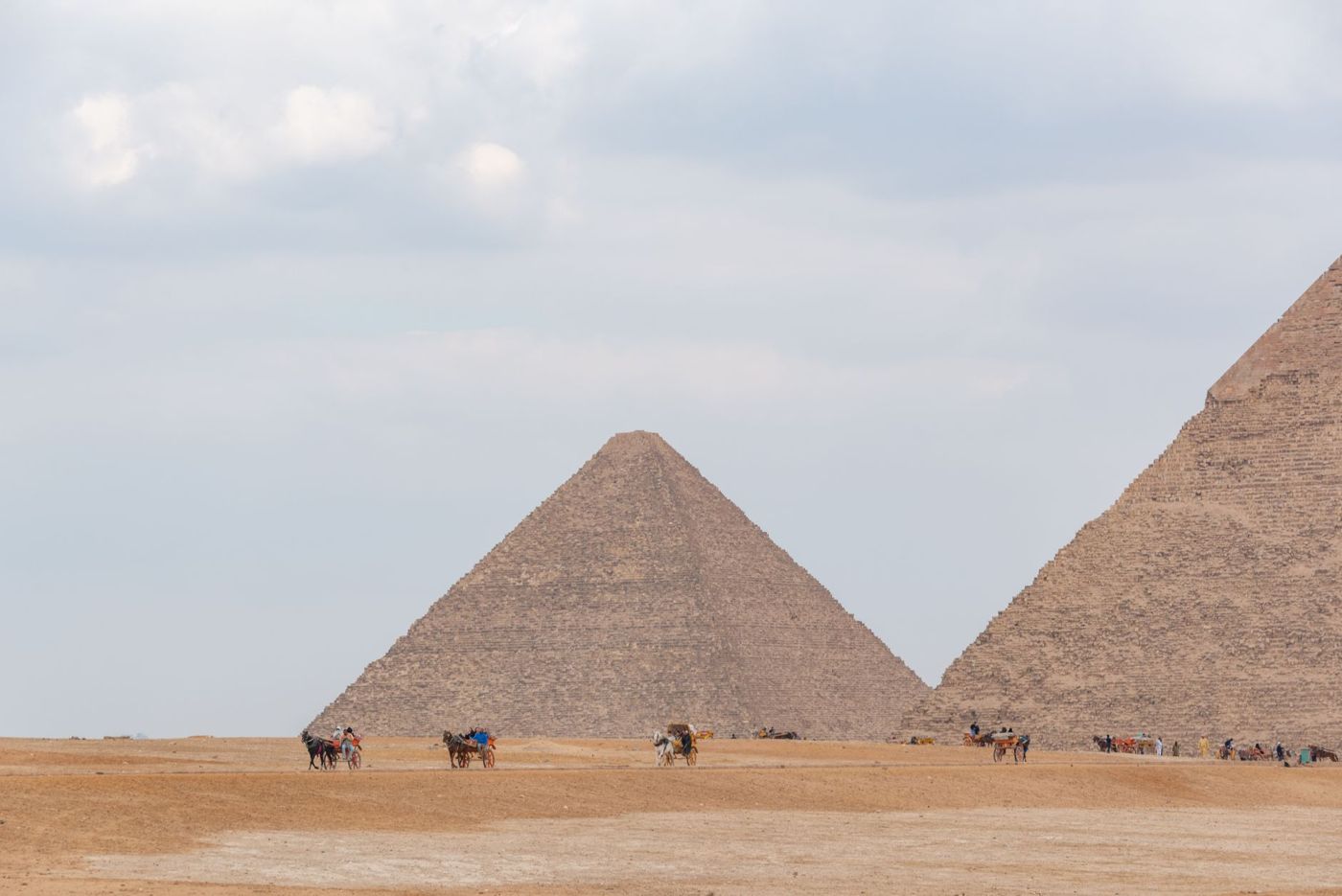
Frequently asked questions
Where is the Great Pyramid of Khufu?
On the Giza Plateau on the western edge of Greater Cairo, in the city of Giza, on the west side of the Nile. It is the northeasternmost of the three large structures.
Are the pyramids in Cairo or in Giza?
In Giza. That is its own city on the other side of the Nile, which has grown together structurally with Cairo and forms the Greater Cairo metropolitan area with it.
How far are the pyramids from the airport?
About 45 kilometers across the city. Expect one to two hours, depending on the time of day.
Can you see the pyramids from the city area?
Yes, from many parts of the western city area, from rooftop terraces, and from the approach. In haze, however, they disappear completely.
How Close the City Really Is
If you want to get an idea of this place, a picture from Europe helps.
Imagine that on the western outskirts of a metropolis, the built-up area ends at a terrain edge, and directly behind it, visible from the upper floors, stands a four-and-a-half-thousand-year-old structure of 140 meters in height. Not a museum site on a green field, but an edge in the middle of everyday life.
Exactly that is the case here. People drive past this thing on their way to work. Children grow up with the view of it. On one side of the wall, there is honking and bread selling; on the other lies the largest necropolis of the Old Kingdom.
There is a moment when this tips for almost everyone. It usually does not happen at the entrance, but shortly after, when you stand at a corner of the Great Pyramid of Khufu and can look in both directions: on one side the city, on the other nothing but sand to the horizon. The place then explains itself, without anyone having to say anything.
This proximity is often described as a disappointment, and that is understandable if you have the desert motif in mind. You can also see it the other way around. These structures were never meant for solitude. They stood at the edge of a capital, in sight of the people for whom they were meant to be a statement about power and order.
In this respect, the location today is closer to the original state than any deserted photo.
Accommodations within walking distance of the plateau. If you stay in Giza, you save one to two hours of driving through the city every day. Three houses that cover this:
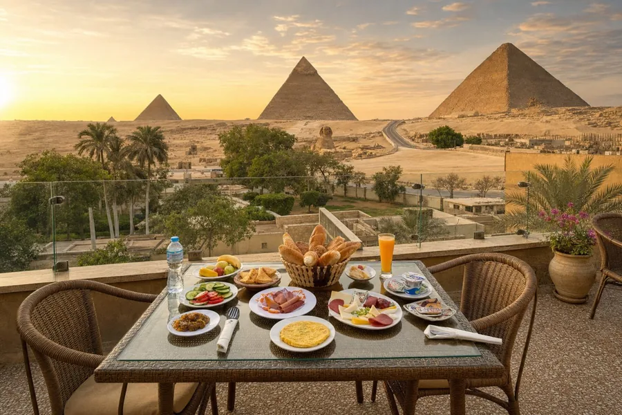 At the Sphinx
Giza Pyramids View Inn
- Good breakfast
- Airport shuttle
- Two restaurants
- 24-hour reception
- Free Wi-Fi
For those who want to see the Sphinx from their breakfast chair
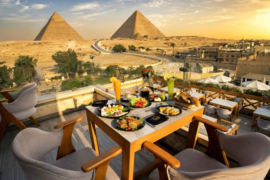 Most reviewed
Great Pyramid Inn
- Fabulous breakfast
- Rooftop terrace restaurant
- Bar
- Airport shuttle
- 24-hour reception
Most who want to stay in the neighborhood
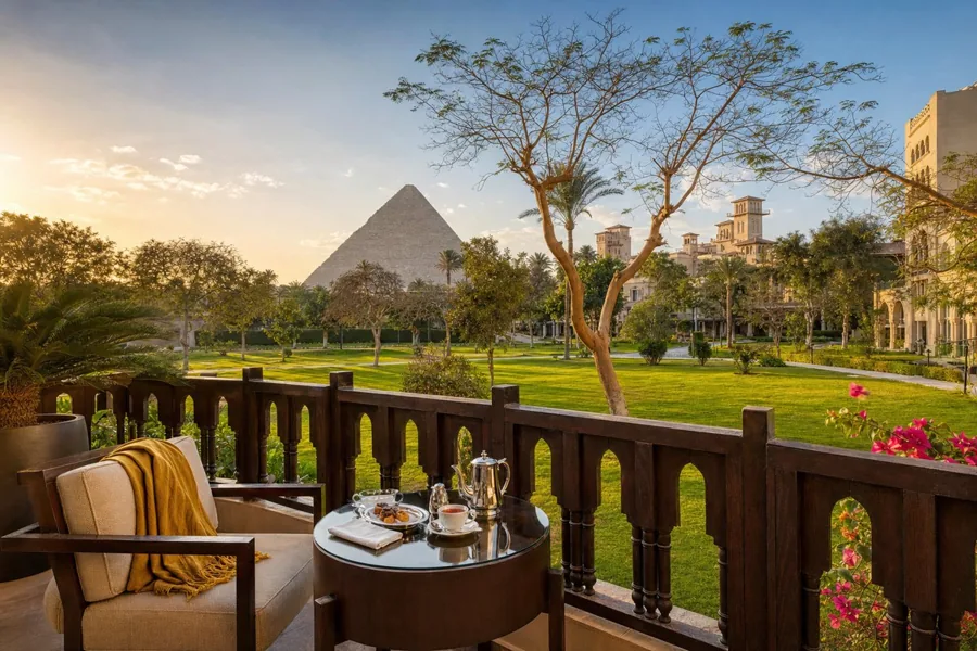 Garden & pool
Marriott Mena House
- Excellent breakfast
- Outdoor pool
- Spa and wellness center
- Three restaurants
- Fitness center
For those who want space, garden, and pool instead of a rooftop terrace