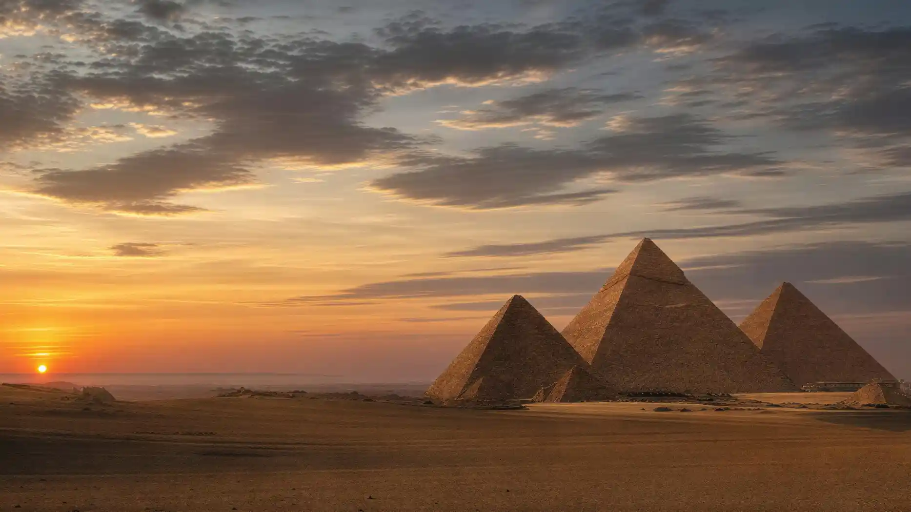
There is little signage on the site and hardly any shade, and the distances are greater than they look. Having a map of the Giza Plateau in your head before you go through the gate saves more than just time.
The basic layout is quickly explained. The three main structures stand on a diagonal running from northeast to southwest, and they get smaller in that direction. The Sphinx lies apart from them, at the eastern edge and below the escarpment. Around them, especially east and west of the largest pyramid, are the burial fields.
If you look for the Pyramids of Giza on a map, you'll find them on the southwestern edge of Cairo, right at the city limits. The idea of a lonely desert location only holds if you photograph to the west. To the east, the urban sprawl reaches right up to the fence.
There are two entrances, and they are far apart. The main gate in the southwest, on the desert road, and the Sphinx Gate in the east. Which one you take determines your entire route.
The Site at a Glance
- Main Gate in the SouthwestOn the desert road, with visitor center and ticket office
- Sphinx Gate in the EastCloser to the city, but no ticket sales
- Great Pyramid of KhufuNortheast, the largest of the three
- Pyramid of KhafreIn the middle, on higher ground, with a cap
- Pyramid of MenkaureSouthwest, noticeably smaller
- Great Sphinx and Valley TempleAt the eastern edge, below the escarpment
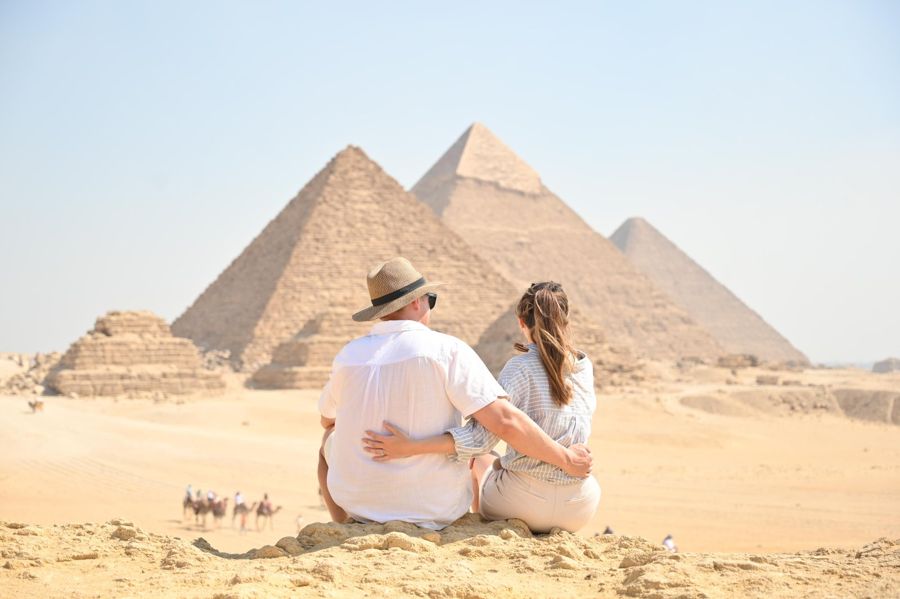
- ViewpointIn the southwest, all three structures in a line
The stops of the electric buses are deliberately not shown because they change. The notice on site is authoritative.
Giza Is a Big City, Not a Desert Site
A map of Giza in the broader sense shows something that surprises many: Giza is not an excavation site in the desert, but a metropolis with several million inhabitants, and the plateau lies on its western edge.
From downtown Cairo, depending on traffic, it takes between thirty minutes and an hour and a half. The Nile separates the two; the site lies on the west bank. If you look for Giza on a map of Egypt, you'll find it in the north of the country, in the Nile Delta or at its southern tip, not in Upper Egypt, where the temple complexes of Luxor are.
This distance is a common planning mistake. Between the plateau and the famous temples near Luxor lie well over five hundred kilometers, that is, an hour's flight or an overnight train ride. Doing both in one day is not possible.
The official overview of the site lists the associated individual monuments and their ticket areas, which is more helpful for route planning than any tourist map.
Plateau entry as a QR code on your phone
Important for route planning: There is no ticket office at the Sphinx Gate in the east. If you want to enter there, you need the ticket beforehand.
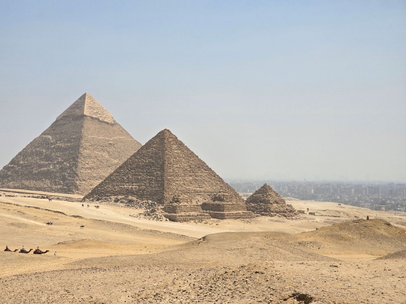
The Great Pyramid of Khufu as a Reference Point
The location of the Great Pyramid of Khufu on the map is the best starting point for orientation because it is the northernmost and largest reference point.
From it, the Sphinx lies to the southeast and below, about a ten-minute walk. The middle pyramid lies to the southwest, also about ten minutes. The smallest follows in the same direction, another good ten minutes further. The viewpoint lies behind it, in the southwest, and is reachable from the main gate in a good quarter of an hour.
These times apply to brisk walking without photo stops and without being approached by vendors, both of which are unrealistic. Expect double. If you connect all points on foot and circle the structures, you easily cover several kilometers.
The entire area has been under protection as a World Heritage site since 1979, together with the pyramid fields as far as Dahshur. In practice, this means there are no paved paths in the usual sense, and the ground consists of sand, rubble, and rock.
The Most Sensible Order
Start at the main gate in the southwest, go first to the viewpoint while the sun is still low, and then work your way northeast: smallest pyramid, middle, largest. The Sphinx comes last because it lies at the eastern edge and you'll come out toward the city there anyway. The other way around, you'll walk the same stretch twice.
A Plan Shows More Than Three Structures
A plan of the pyramid complex shows more than three structures, and that is exactly where most tourist maps fail.
Each of the three complexes includes a mortuary temple on the east side, a causeway leading down into the valley, and a valley temple at the lower end. In addition, there are six smaller subsidiary pyramids, a cult pyramid, boat pits, and the burial fields with over six thousand tombs. If you only draw the three silhouettes, you leave out ninety percent of the site.
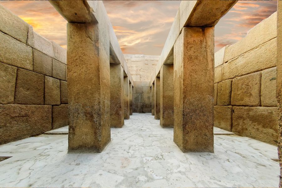
This is relevant for orientation on site because much of it is not recognizable as a structure. The valley temple next to the Sphinx looks like a pile of large blocks, the burial fields like flat stone boxes, the quarry like a natural depression.
If you know what you're looking at, you see more. If you don't, you walk past it, and that is the norm on this site.
Half-day tour to the Pyramids of Giza and the Sphinx
- The order of the stops on the site is crucial and saves long walks
- A licensed guide explains which piles of stones are actually structures
- Plateau entry, German-speaking guide, and hotel pickup are included
- Free cancellation up to 24 hours before start