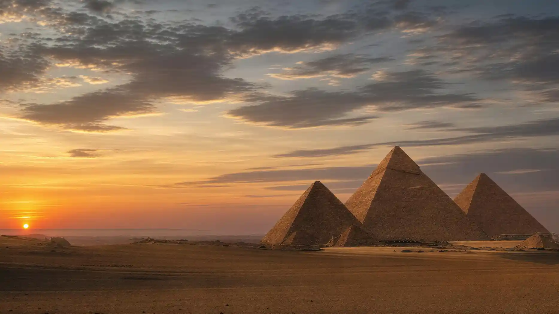
Who discovered the Pyramids of Giza? This question has an unusual answer: no one, because they were never lost.
There is no point in the last four and a half thousand years when it was not known that these structures stood there. They are over a hundred meters high and stand on a rocky ridge at the edge of a densely populated valley. Egyptians, Persians, Greeks, Romans, Arabs, Ottomans, and Europeans have seen them, described them, measured them, plundered them, and marveled at them, without interruption.
This fundamentally distinguishes Giza from the places usually associated with archaeological discovery. Troy had to be found, Pompeii lay under ash, Tutankhamun's tomb was forgotten. Here, nothing was ever forgotten, only buried, robbed, and overgrown.
So what exists is not a story of discovery but a story of research. And that is more interesting because it shows how the treatment of a monument has changed over two hundred years: from explosives to endoscopes.
One caveat is in order. Individual parts of the site were indeed lost and had to be found: the settlement of the builders, whose existence was long only suspected; the necropolis of its inhabitants, over which a horse stumbled in 1990; the cult pyramid at the southeast corner, which lay under a road; and the shaft with the gilded equipment that no one expected in 1925. So there are discoveries, but they never concern the three structures being sought.
This page tells this transformation and shows what the site looked like before it looked like it does today.
What the Site Looked Like Before Excavation
The Pyramids of Giza before excavation looked different than most people imagine, and the difference is greater than with almost any other monument.
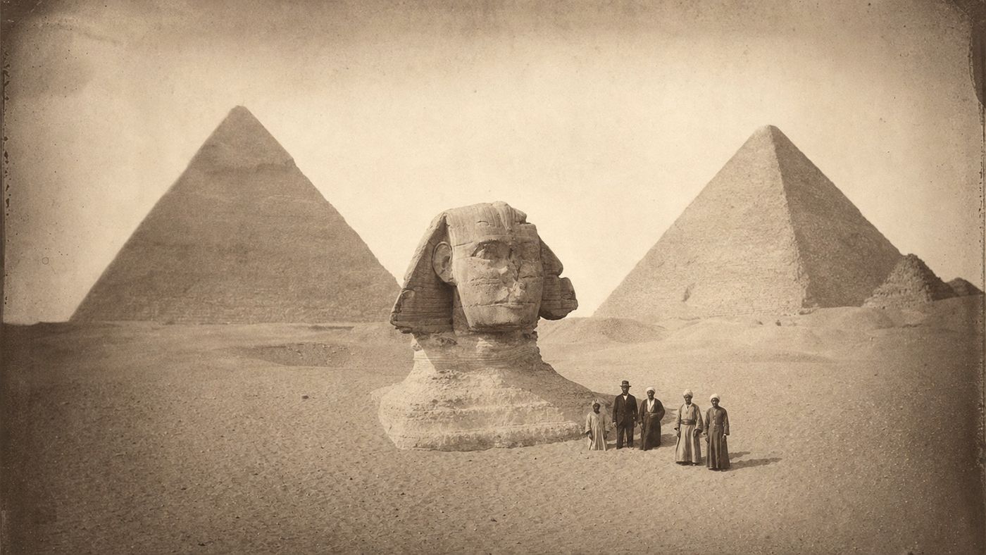
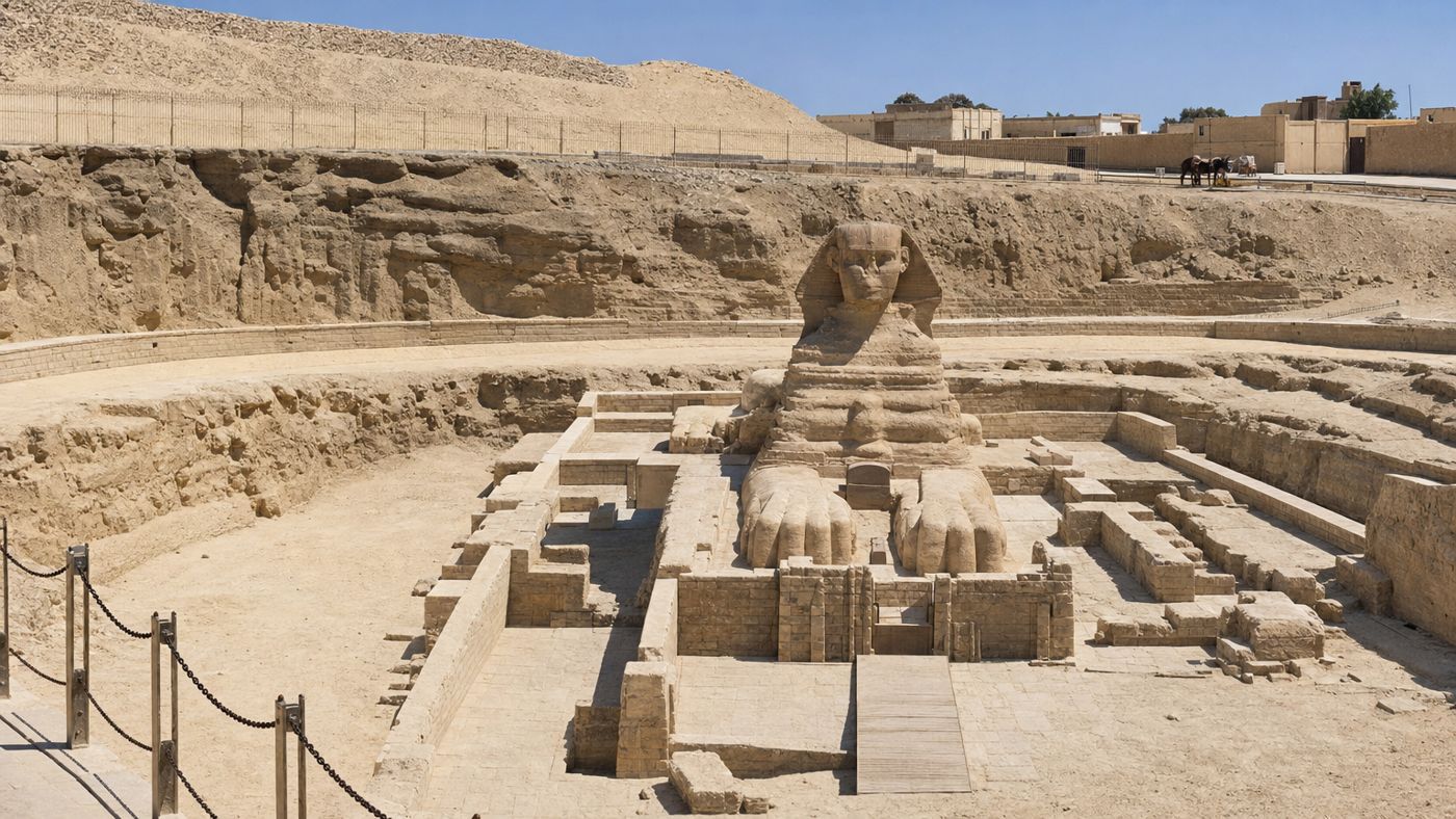
The most striking point concerns the sand. The desert is constantly working, and what is not kept clear disappears. The Sphinx lay buried up to its shoulders in sand for most of its history; only the head and neck were visible. The burial fields around it were buried under dunes. The causeway of the middle pyramid was not recognizable as a path but as a terrain edge.
The pyramids themselves also stood differently. At their flanks lay huge piles of debris from collapsed core masonry and from the rubble of stone robbers who had stripped the casing. These piles sometimes rose many meters high and completely covered the lowest courses. Anyone who drew a pyramid in the 18th century drew a cone with a rubble base, not the sharp-edged structure seen in today's photos.
In addition, there was the use. For centuries, the site served as a quarry for Cairo, as pasture, and as a place to live. People lived in the tomb shafts, and animals stood in the chambers.
This condition is well documented because it lasted a long time. Travelers of the 17th and 18th centuries described climbing over rubble to the entrance. Drawings show the Sphinx as a head without a body. The early photographs from the mid-19th century capture the same condition, only more precisely. Thus, the site has something that most monuments lack: a dense series of images over two hundred years, from which every change can be read.
What you see today is therefore not a preserved original state but a manufactured one: cleared, supported, fenced, and developed.
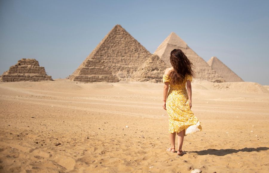
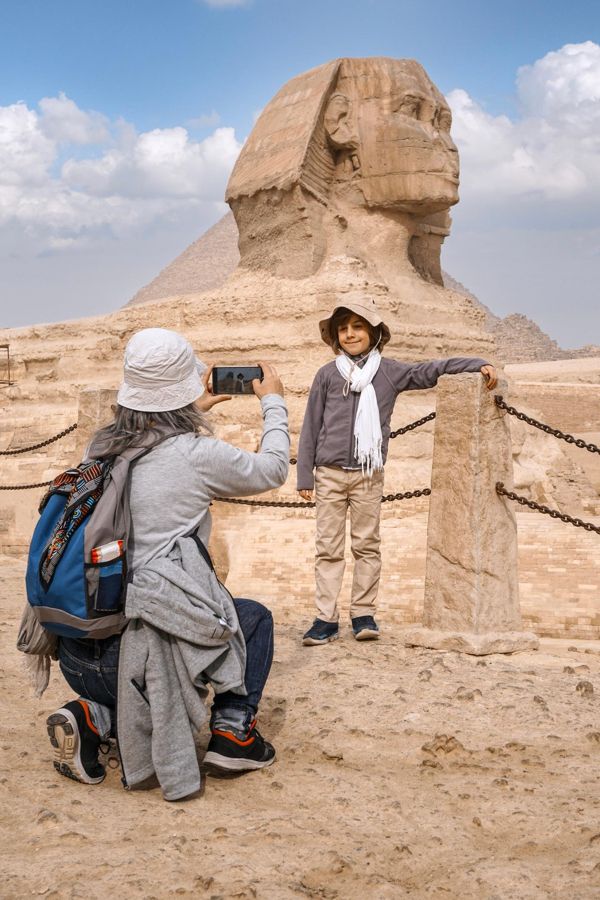
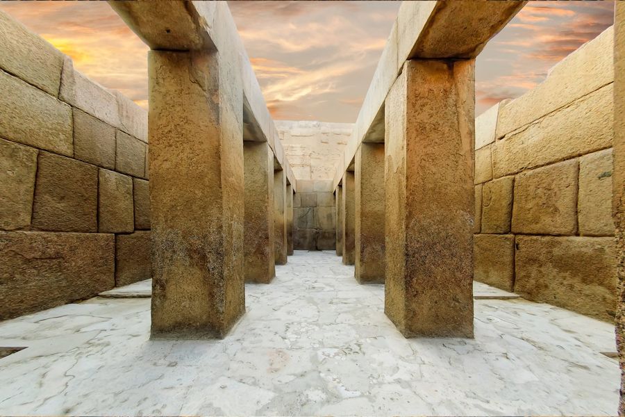
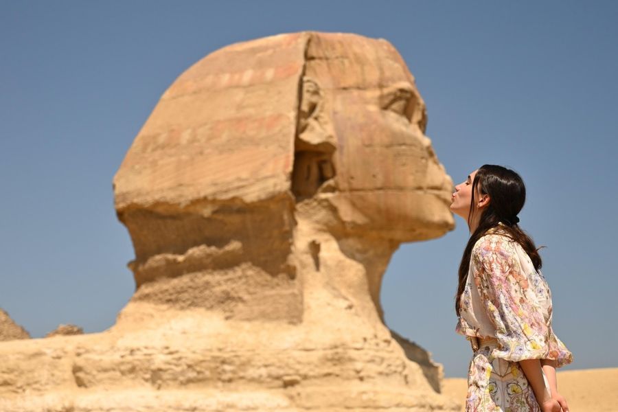
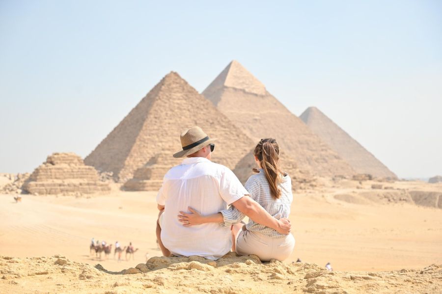
Half-Day Tour to the Pyramids of Giza and the Sphinx
- The exposed burial fields and the causeway show what excavation actually means
- A licensed guide explains which areas have been cleared and which have been reconstructed
- Plateau entry, German-speaking guide, and hotel pickup are included
- Free cancellation up to 24 hours before start
Two Hundred Years of Research
- 9th century
A tunnel is driven into the north flank of the largest pyramid. It remains the entrance to this day.
- 1798 to 1801
The French expedition brings experts. The result is a monumental series of plates that systematically depicts and measures for the first time.
- 1837
Vyse and Perring work with gunpowder, forcibly open chambers, and carefully document them. Both belong together.
- 1842 to 1845
A Prussian expedition clears private tombs, numbers them, and creates maps and plans.
- 1880 to 1882
Flinders Petrie measures the site for the first time with modern accuracy. His plates are still cited today.
- from 1902
Beginning of the longest excavation series on the site, initially for a Californian university, from 1905 for Harvard and a museum in Boston.
- 1925 to 1936
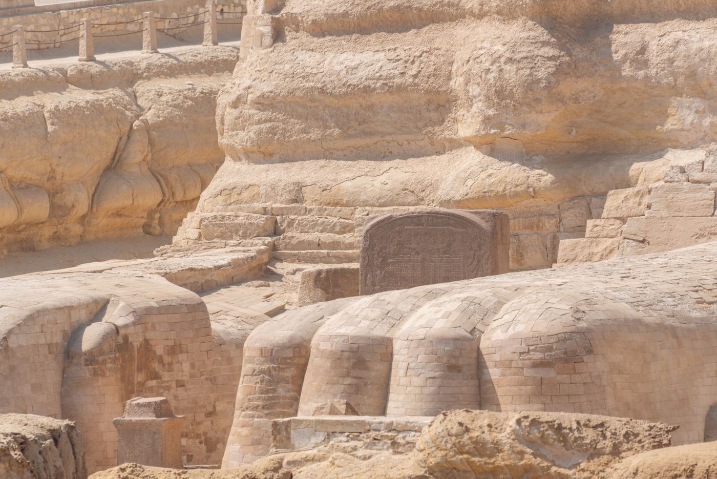
The Sphinx is completely freed from the sand and secured.
- 1929 to 1939
Selim Hassan exposes large parts of the burial fields and excavates the pit around the Sphinx for the first time completely.
- from the 1980s
Excavations at the builders' settlement. The focus shifts from the royal tomb to the society behind it.
- from 2015
Non-destructive methods: muon measurement, ground-penetrating radar, endoscopes through existing joints.
The Turning Point Around 1880
The turning point is around 1880, and it has a name and a method.
Until then, excavation was essentially a search. People wanted to find chambers, and if there was no way in, they created one. In the 1830s, gunpowder was used, both on the smallest pyramid and on the Sphinx, where a hole was drilled into its back. By today's standards, that is destruction. By the standards of the time, it was common, and remarkably, careful measuring and drawing were done in parallel.
Then came a young Briton with a theodolite and the conviction that measuring is more important than finding. His survey from 1880 to 1882 provided the first reliable figures, with error margins, and he thereby refuted a number of circulating theories. The principle that an excavation documents its results rather than just collecting objects prevailed from here on.
It was consistently implemented from 1902. Over thirty-five years, the longest excavation series the site has ever seen ran, with photography, diaries, find lists, and plans for each individual tomb. This material is the reason so much is known about Giza: it was not only dug, it was written down. The archive of these campaigns is now digitized and freely accessible.
Remarkable about this series is the extent of the material. Not only finds were documented, but also find contexts, stratigraphy, empty areas, and the daily work itself. Where older excavations gave a museum an object with the note "from Giza," here it is traceable for each piece from which shaft of which complex it comes. This difference decides whether an object is a source or just a pretty piece.
In parallel, Austrian and Egyptian teams worked. The clearing of large parts of the burial fields and the pit around the Sphinx between 1929 and 1939 was under Egyptian leadership, which is remarkable for the time and often overlooked in European accounts.
Today, Excavation Happens Elsewhere
What is excavated today has only indirect connection to royal tombs, and that is the second major shift.
Since the 1980s, the focus has been southeast of the plateau, below the terrain edge, where the people who worked on the construction lived. The excavations at this settlement have uncovered bakeries, granaries, cattle pens, accommodations, and administrative buildings, along with thousands of seal impressions.
The difference from older archaeology is fundamental. One no longer searches for the most impressive object but for the everyday order: What was eaten, how was work organized, how did supply run? The finds are correspondingly unspectacular—animal bones, ash layers, pottery sherds—and they answer questions that gold cannot answer.
In parallel, technology has changed. The spectacular findings of recent years came without a single shovel: cavities, proven by counting particles from space, confirmed by ground-penetrating radar and ultrasound, inspected through a six-millimeter-thin endoscope in an existing joint.
This restraint is paid for with speed. A cavity that could be clarified with a drill in a week takes years with non-destructive methods and ultimately provides an outline instead of a view. This is a deliberate trade-off: the gain in knowledge is slowed down so that the object is preserved for future methods that do not yet exist. The experience of the 19th century speaks for this trade-off.
Thus, the arc has closed. At the beginning was gunpowder to get into a structure. At the provisional end is a method that looks inside without touching it.
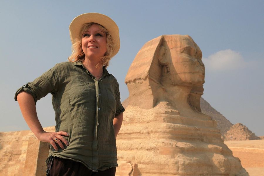
Plateau Entry as QR Code on Your Phone
The exposed burial fields, the quarry, and the Sphinx pit are all within the regular ticket area.
What of This Is Visible on Site
For visitors, this story has a practical side that changes the view of the site.
Much that looks like nature is work. The open area in front of the Sphinx was created by removing hundreds of thousands of cubic meters of sand. The straight alleys between the tomb structures were blown over for centuries. The quarry south of the Great Pyramid is recognizable as a depression because it was cleared out.
Conversely, some things that look like destruction are findings. The rubble heaps at the flanks have largely been removed, but the traces of the stone robbers have been left because they belong to the history of the structure. Also, the hole in the Sphinx's back and the drilling from 1837 have not been concealed.
Since 1979, the entire area has been protected as a World Heritage Site. Practically, this means that major interventions require approval and non-destructive methods take precedence. A project like that of 1837 would be unthinkable today.
A note for those who want to compare old views with the current state: The image archives of the major campaigns are digitized and freely accessible, as are the plates of the French expedition and the survey of 1882. If you place a historical view next to your own photo, you will see in a few minutes how much work lies between the two.
And it means that research is not complete. Excavations continue, areas are re-measured, and the number of known tombs grows. Anyone who goes today sees an interim state, not a final state.
Frequently asked questions
When were the Pyramids of Giza discovered?
They weren't. They were never lost and have been continuously known since their construction. What exists is a story of research, not discovery.
Did Napoleon shoot at the pyramids?
There is no evidence of damage from French artillery. The most famous version of this story concerns the nose of the Sphinx, and it was already missing in 1737. There is a separate page about this.
What did the French expedition bring?
An extensive series of plates with measurements and views. It made the site systematically known in Europe for the first time and triggered scientific engagement with it.
Is excavation still happening today?
Yes, continuously. For decades, the focus has been on the builders' settlement and the burial fields, not the pyramids themselves.
Where can one view the old excavation records?
The material from the major campaigns from 1902 is digitized and freely accessible, including photographs, diaries, and plans.
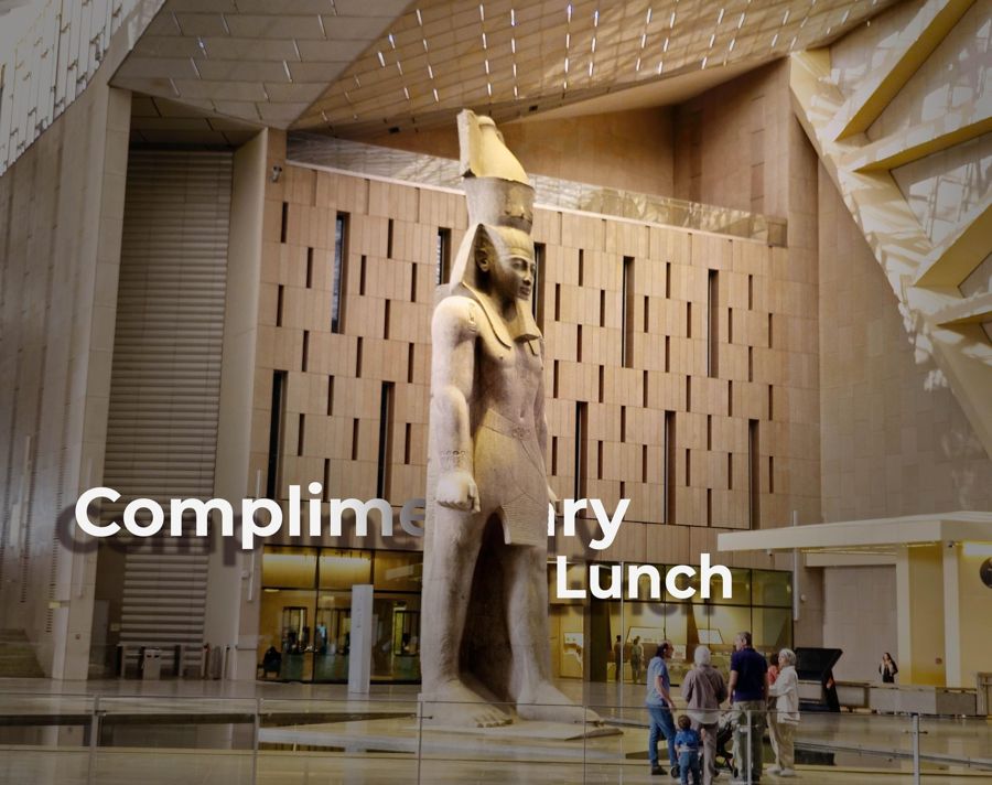

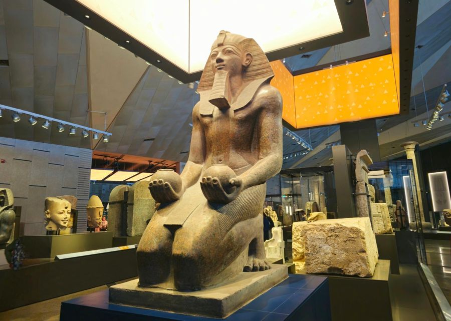
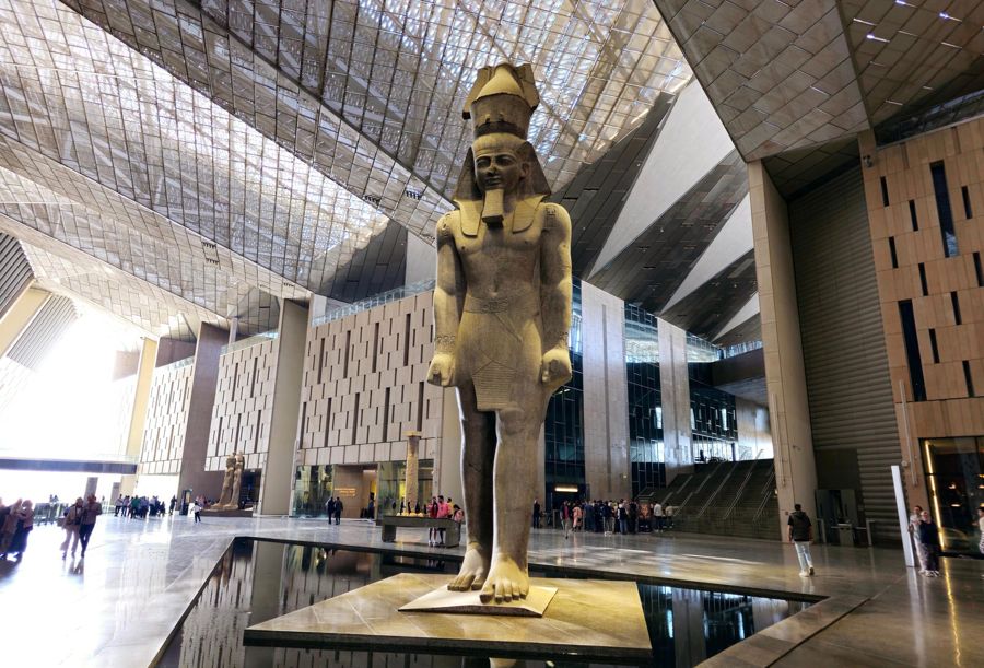
Day Tour to the Grand Egyptian Museum and the Plateau
- The finds from the major excavation campaigns are in the museum, not at the site
- Plateau and museum in one day, without organizing two trips yourself
- Entry fees, German-speaking guide, pickup, and lunch are included
- Free cancellation up to 24 hours before start