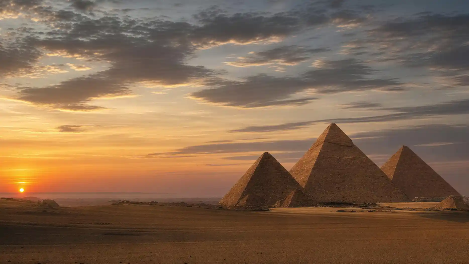
Most people know the place from a single image: three pyramids, sand, sky. That is roughly five percent of what actually lies there.
The ground is not a sea of sand but a rock ridge. On the west bank of the Nile, the desert drops in a step to the river plain, and at this edge a limestone slab pushes forward, about sixty meters above sea level, with a steep edge of about thirty meters to the east and north. Everything stands on this slab.
The extent is more manageable than the photos suggest: about two kilometers from east to west and one and a half from north to south. You can walk it, and many do, often without knowing they are walking over a cemetery.
Because that is the point that photos systematically omit. Between and around the three great structures lie more than six thousand additional tombs, laid out in rows, with streets and alleys between them, built over several centuries. The three pyramids are the main buildings of a city, and the rest of that city is still there, just flatter.
A second misunderstanding concerns the surroundings. The site is not isolated in the desert but at its very edge, and on the other side the city begins immediately. To the east and south, development reaches right up to the fence, with houses, stables, and streets in sight of the monuments. To the west, however, open desert plateau stretches to the horizon. Which side you photograph from therefore determines whether the image looks like solitude or suburbia. Both are correct, and both are the same place.
This page describes the site as a whole: what it consists of, how it is organized, what stands there besides the famous monuments, and what has fundamentally changed about access since 2025.
The Layout of the Site
- Great Pyramid of KhufuNortheast, the largest of the three structures
- Pyramid of KhafreIn the middle, on higher ground, with a cap
- Pyramid of MenkaureSouthwest, significantly smaller
- Great Sphinx and Sphinx TempleAt the eastern edge, below the escarpment
- East Cemetery and West CemeteryGrid-like tomb fields on both sides of the Great Pyramid
- Quarry DepressionSouth of the Great Pyramid, source of the core masonry
- New Main GateIn the southwest on the desert road
- Sphinx GateIn the east, without ticket sales
The arrangement is schematic. Distances feel greater on the ground than on the plan because there is little shade and few reference points.
Why It Was Built Here
That it was built here and not elsewhere has geological reasons, and they are surprisingly tangible.
The rock belongs to the so-called Mokattam Formation, a limestone from the middle Eocene, formed about forty million years ago at the bottom of a shallow sea. The layers dip gently to the southeast, are well bedded, and are crossed by vertical joints. For a stonemason with copper tools, this is the most favorable combination there is: the stone is hard enough to bear loads, yet breaks along natural planes.
Thus the building material was not nearby but right underfoot. The main quarry for the core masonry is a horseshoe-shaped depression a few hundred meters south of the Great Pyramid. Anyone walking across the Giza Plateau in Egypt and wondering why the terrain dips so irregularly there is not seeing a natural basin but a quarry site.
How well this stone is suited is still the subject of research today, because the preservation of the monuments depends on it. Measurements on samples of the Mokattam limestones show considerable differences between individual beds: some layers are dense and weather-resistant, others porous and sensitive to salt. This explains why on the same structure some blocks have remained sharp-edged while others next to them have crumbled to grit.
The second reason is height. A structure on the slab is visible from the river plain for many kilometers, and it stands on rock rather than on alluvial soil that settles. The third reason is water: during the building period, a Nile branch came much closer to the escarpment than today, so heavy deliveries could be brought almost to the foot of the slope.
Rock, height, and harbor in one place. That is the whole site justification, and it also explains why the neighboring kings did not move away but followed.
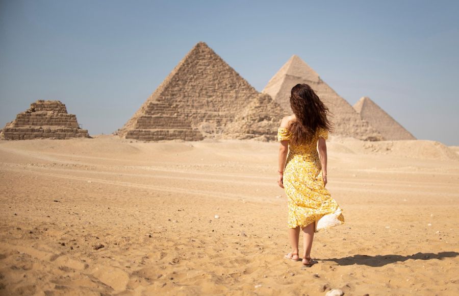
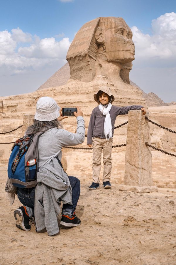
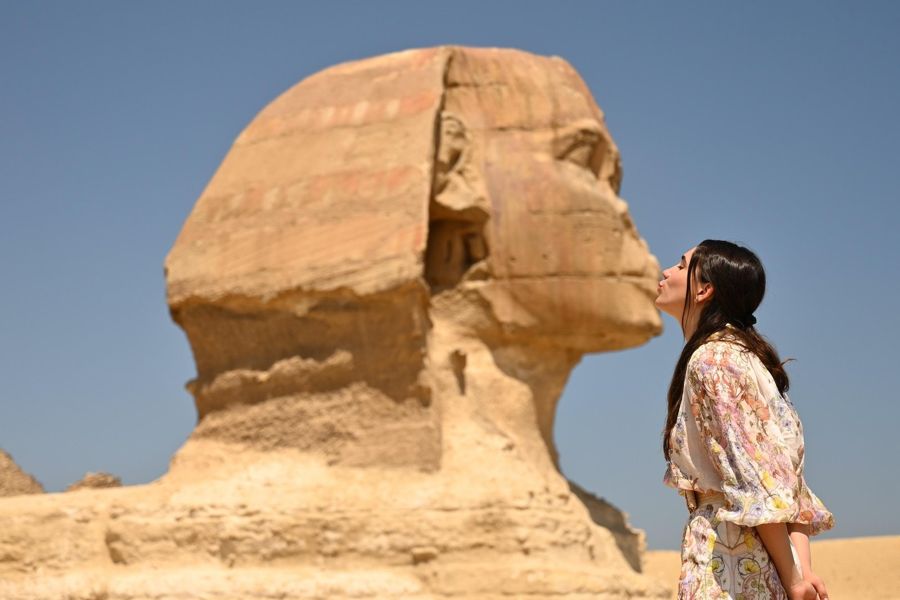
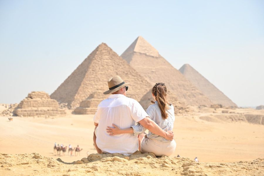
Half-day tour of the Giza Plateau with Sphinx
- A licensed guide leads to areas away from the three main structures
- The order of stops on the site is crucial; it saves long walks
- Plateau entry, German-speaking guide, and hotel pickup are included
- Free cancellation up to 24 hours before start
The Site Was Planned Like a City Map
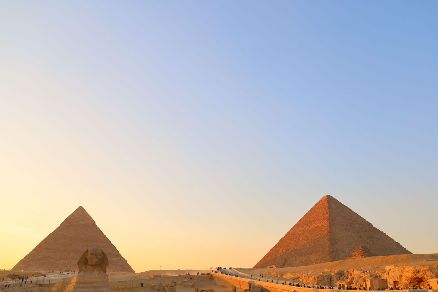
The order of the site is neither coincidence nor an organic structure. It was planned, and planned like a city map.
East and west of the Great Pyramid lie two extensive tomb fields, in which rectangular stone boxes stand in straight rows. This form is called mastaba, Arabic for bench, and beneath each lie a shaft and a chamber. Buried there were members of the royal family, high officials, priests, and craftsmen of rank. The location says something about rank: the closer to the royal tomb, the higher the status.
The excavation operation has translated this order into a numbering system that is still valid today. The designations run from the thousands numbers in the far west to the seven-thousands east of the Great Pyramid. Anyone encountering a number like G 7000 in the specialist literature can read the cardinal direction from it.
In total, more than six thousand tombs are known, and this number continues to grow because excavations are still ongoing. Only a small part is accessible, usually a few dozen, and which ones changes depending on condition and restoration status. The necropolis of Giza is thus overwhelmingly a place you see from the outside.
The complex also includes something that was long not seen as part of it: the area where the builders lived and were supplied. It lies to the southeast, below the escarpment, and has only been systematically excavated in recent decades. The excavations there have brought to light bakeries, granaries, accommodations, and an administrative building. Thus the complex is not only a cemetery but also the remains of a workmen's town.
The pyramids on the Giza Plateau are the core of this complex, not the whole. In addition, there are three mortuary temples, three causeways, at least one preserved valley temple, several queen's pyramids, boat pits, the Sphinx with its own temple, and, below the escarpment in the southeast, the settlement of the builders.
What Stands There and How Close You Can Get
Not everything on the site is accessible, and some things are only recognizable from a distance.
| Structure or Area | Location | For Visitors |
|---|---|---|
| The Three Pyramids | Diagonal from northeast to southwest | Freely walkable around the outside; interior with extra ticket |
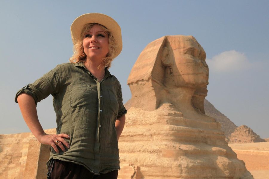
| Great Sphinx | Eastern edge, below the escarpment | From a platform, not from directly beside it |
| Sphinx Temple and Valley Temple | Directly east of the Sphinx | Walkable, often overlooked |
| East and West Cemeteries | On both sides of the Great Pyramid | Freely walkable, individual tombs open |
| Boat Pits | South and east sides of the Great Pyramid | Visible but empty |
| Quarry Depression | South of the Great Pyramid | Freely accessible, without signage |
| Workmen's Settlement | Southeast, below the escarpment | Designated as an excavation site, away from the walking routes |
- Location
- Diagonal from northeast to southwest
- For Visitors
- Freely walkable around the outside; interior with extra ticket
- Location
- Eastern edge, below the escarpment
- For Visitors
- From a platform, not from directly beside it
- Location
- Directly east of the Sphinx
- For Visitors
- Walkable, often overlooked
- Location
- On both sides of the Great Pyramid
- For Visitors
- Freely walkable, individual tombs open
- Location
- South and east sides of the Great Pyramid
- For Visitors
- Visible but empty
- Location
- South of the Great Pyramid
- For Visitors
- Freely accessible, without signage
- Location
- Southeast, below the escarpment
- For Visitors
- Designated as an excavation site, away from the walking routes
Which individual tombs are open changes. The on-site administration's information is authoritative.
What Older Travel Guides No Longer Show
Anyone using a travel guide from before 2025 will find a site described that no longer exists in that form.
The main entrance is no longer in the town center near the old hotel, but at a new visitor center on the desert road in the southwest. The second entrance at the Sphinx in the east still exists but has no ticket office. If you arrive there without having booked in advance, you will stand in front of an open gate and still not get in.
The bigger change concerns traffic. Private vehicles and tour buses are no longer allowed on the site. The driver drops you off at the gate and waits outside. On the site itself, electric buses run between the main points, with stops at all main points, and use is included in the entrance fee. A separate ticket is not required.
Since 2025, visitor operations have been run by a private concessionaire, while entrance fees continue to go to the state. The operator earns from ancillary services: gastronomy, special tours, events. This explains why restaurants and visitor buildings now stand on the site where there used to be only sand and souvenir stalls.
The transition is not complete, and individual details continue to change. What is stable: no private cars on the site, ticket before arrival, and entry at the new gate unless you explicitly plan otherwise.
The Most Common Avoidable Mishap
The gate at the Sphinx in the east is closer to the city and therefore seems like the more convenient entry. However, there is no ticket sales there. Buy your ticket online in advance, or go to the main gate in the southwest. If you arrive at the east entrance without a ticket, you have to cross the site or go around the outside.
Three Things Almost Everyone Overlooks
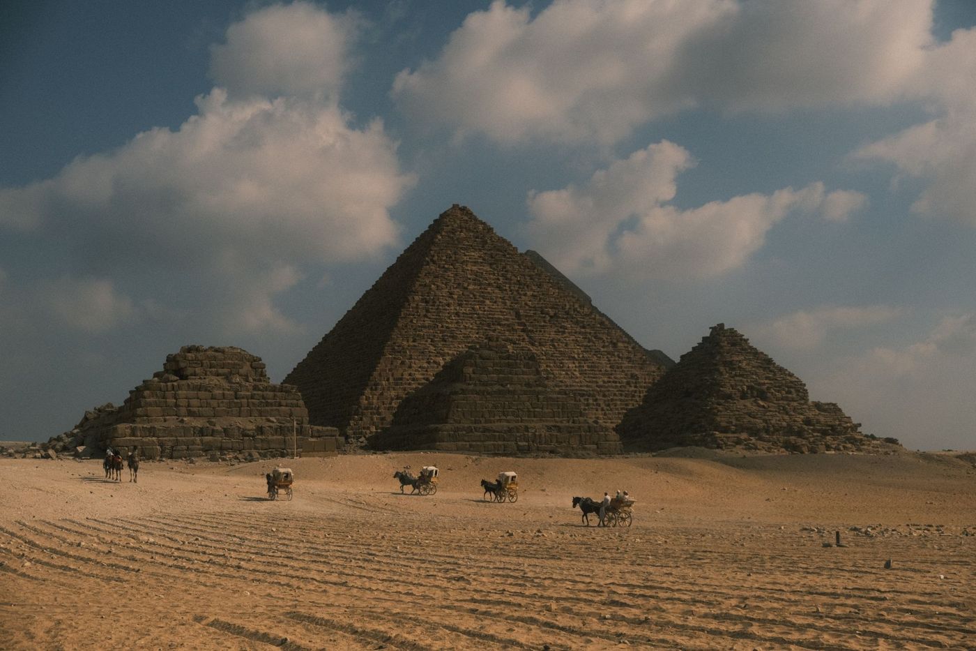
Finally, three things on the site that almost everyone overlooks, even though they are freely accessible.
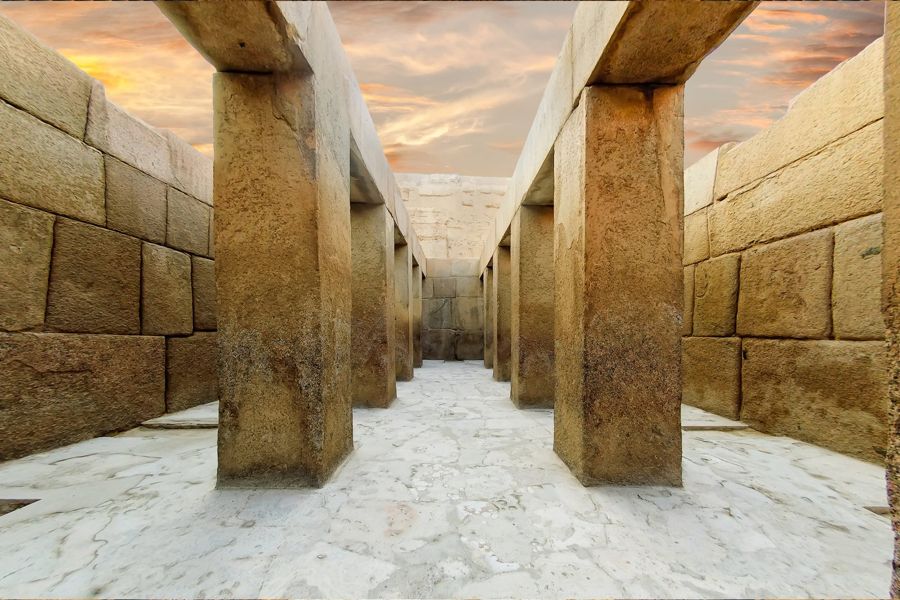
The first is the Valley Temple at the Sphinx. A building of massive granite pillars, whose blocks are set so precisely in the bond that the joints disappear as lines in the stone. It lies on the path between the Sphinx platform and the exit, and most people walk through it while looking at their phones.
The second is the quarry depression south of the Great Pyramid. There you can see quarrying edges in the rock, some broken off mid-work. It is the only place on the site where the construction process itself becomes visible, and it has no signage.
Additionally, a look to the south is worthwhile. On clear days, from the southwestern edge of the site, the pyramids of Abusir and Saqqara can be seen, sometimes even the Bent Pyramid of Dahshur. This makes visible what the World Heritage listing means: a continuous chain of royal cemeteries along the desert edge over several dozen kilometers. The place where you stand is its northern end, not an isolated case.
The third is the tomb fields. Walking between the mastabas takes twenty minutes, costs nothing extra, and is the only part of the site that is usually quiet. If you want to understand why this is called a necropolis and not three structures, you should plan those twenty minutes.
The entire complex has been protected as World Heritage since 1979, together with the pyramid fields up to Dahshur. The inscribed area covers more than sixteen thousand hectares. What you walk in a morning is the northernmost and most famous part of it.
Frequently asked questions
What is the Giza Plateau?
A limestone slab on the west edge of the Nile Valley, about two by one and a half kilometers, on which lie the three famous pyramids, the Sphinx, and over six thousand additional tombs.
How large is the site?
About two kilometers from east to west, one and a half from north to south. It can be done on foot in a morning, though without significant shade.
Are you allowed to drive up?
No. Private vehicles and tour buses remain outside since the reorganization. On the site, electric buses run, and their use is included in the entrance fee.
Can you see everything?
No. The open areas and tomb fields are walkable, but individual structures and interiors require extra tickets or are closed. The inventory changes.
How much time should you plan?
Three to four hours for the main points. If you want to include the tomb fields and the quarry, plan half a day.
Plateau entry as QR code on your phone
Tomb fields, quarry depression, and valley temple are in the regular ticket area. For entry at the Sphinx Gate, the ticket must be on your phone in advance.