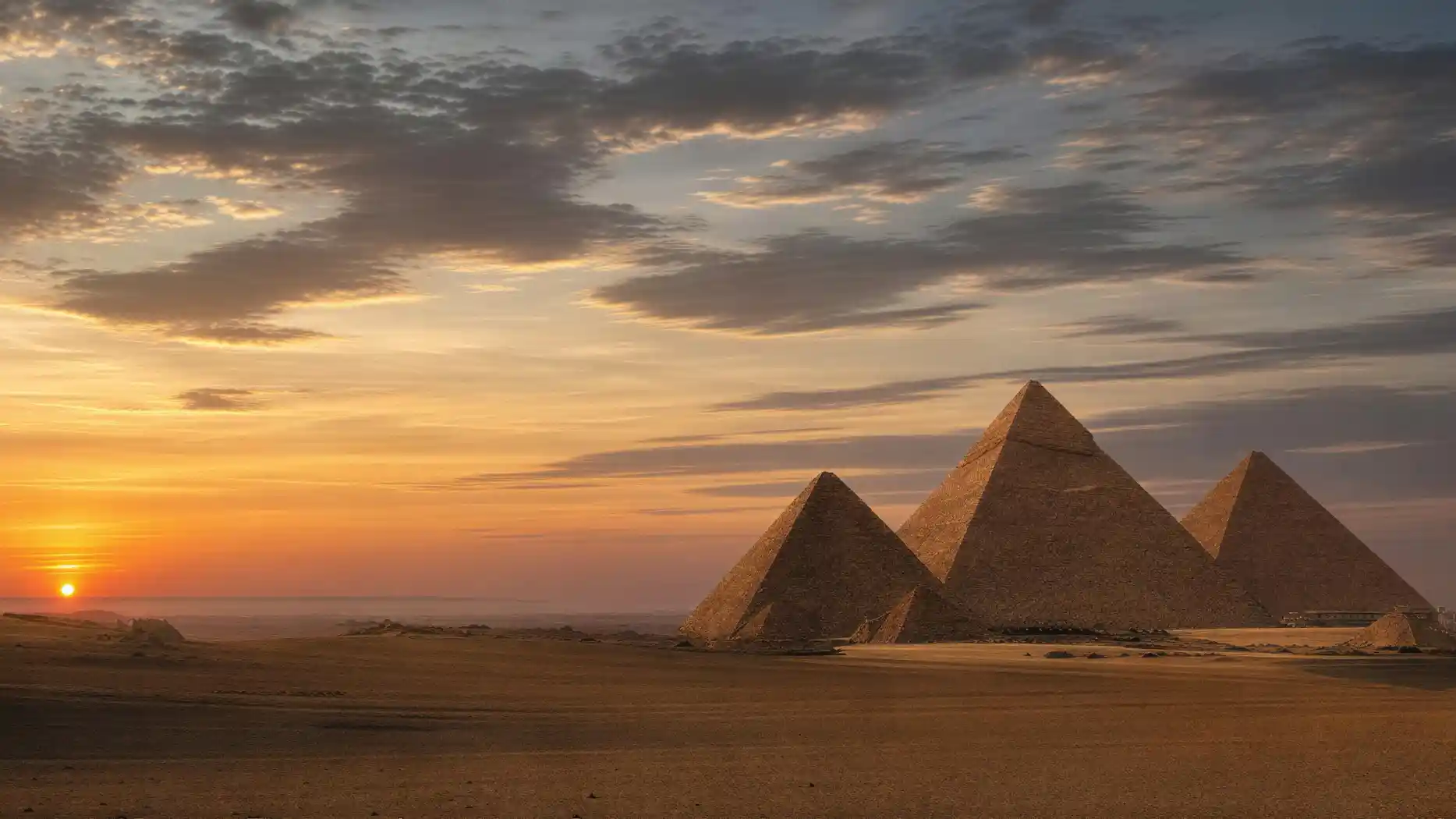
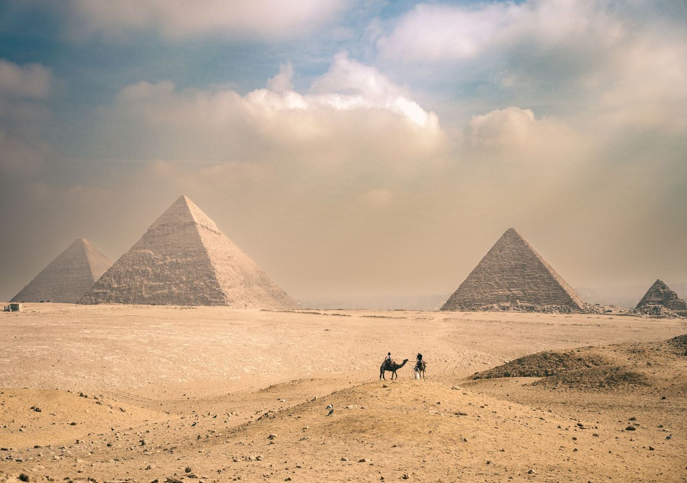
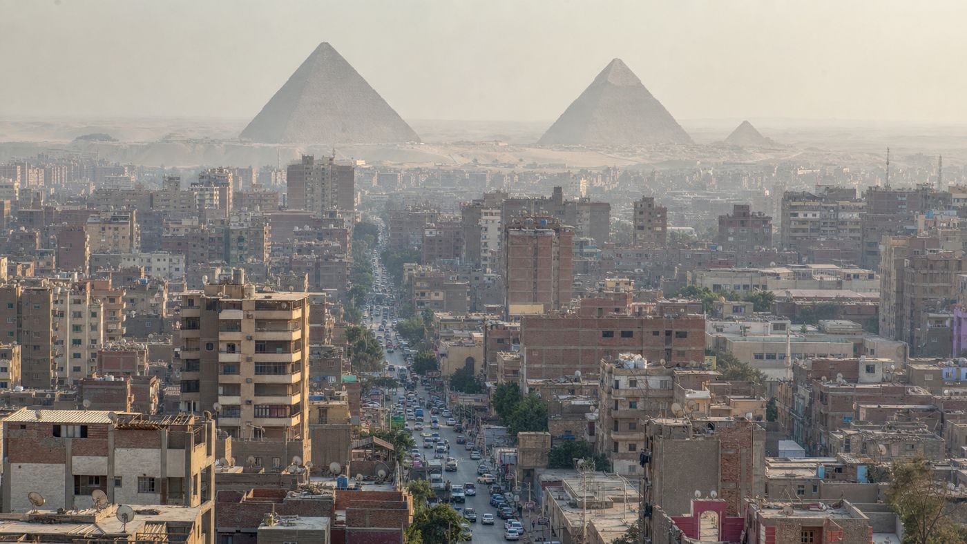
The pyramids of Giza next to the city are a motif that most travelers only discover on site, and for some, it comes as a bit of a disappointment. In the well-known pictures, the site stands alone in the desert. In reality, the urban sprawl begins right at the eastern edge of the site: residential buildings, shops, a traffic junction, and a fast-food restaurant with a rooftop terrace opposite the eastern gate.
Both images are honest. They just show different directions. Those who photograph to the west have open desert behind the structures. Those who photograph to the east have a city of millions. The camera doesn't decide what's true here; it decides the cardinal direction.
The question of why this is so is what makes it interesting. Because this border didn't just grow together organically. It is one of the most closely monitored edges on the entire World Heritage list.
The Sphinx Looks Out at Residential Blocks
How close the city is can be seen in one detail: the Sphinx faces east, and directly in its line of sight are houses. Seeing the pyramids from the city is therefore nothing special for the residents of the neighboring district; it's their everyday life. They see the structures from their windows.
Historically, this proximity is no coincidence; it's the starting point. At the time of construction, this wasn't an empty desert valley but a shoreline. The valley temples of the three complexes were harbor buildings on the edge of the fertile land, and from there, a covered causeway led up to each structure. In 2024, a lost Nile branch was proven to run along the entire pyramid belt, and these causeways ended on its former banks.
The strip where residential blocks now stand is exactly the strip where the entrances used to be. Parts of the valley temple of the largest complex remain buried under modern development to this day. It's not that the city has crept up to the pyramids—at least not only. Both sit on the same narrow edge between desert and fertile land, and there are few other edges like this in Egypt.
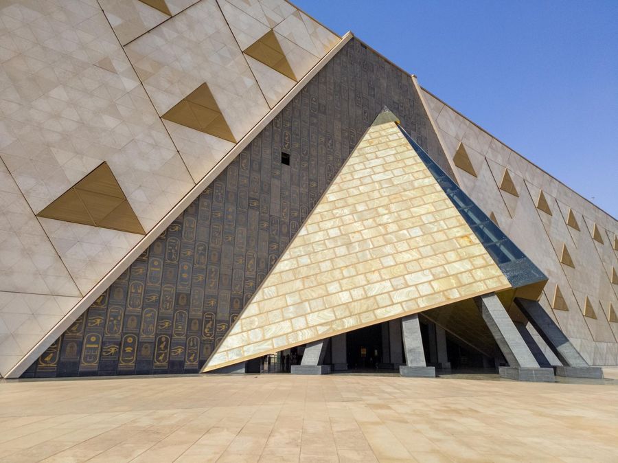
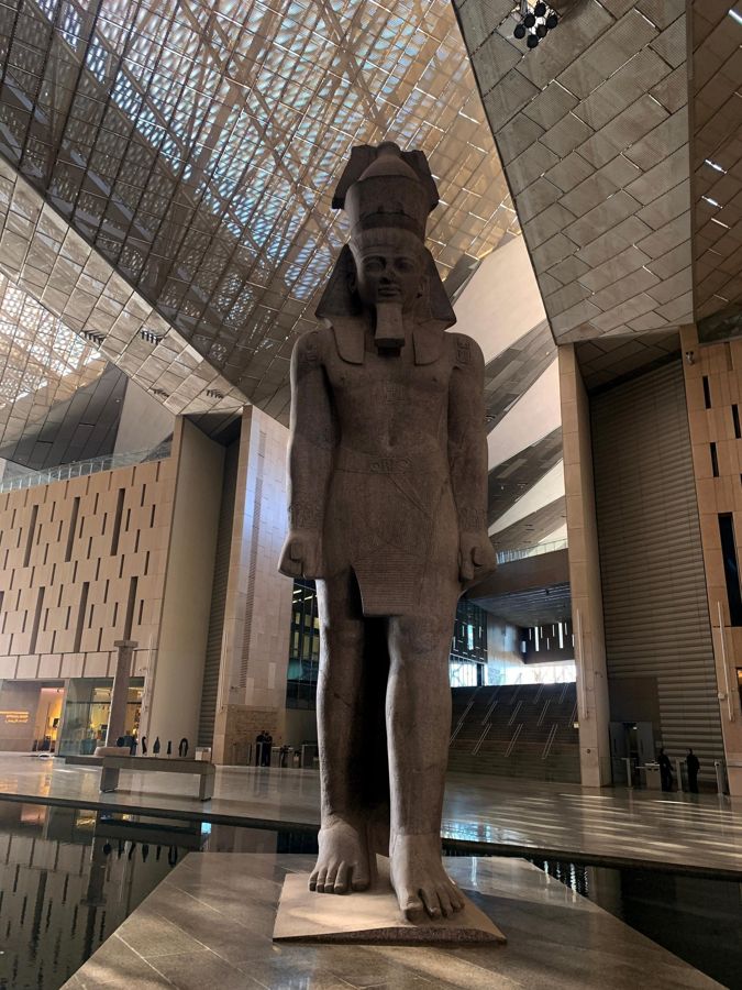
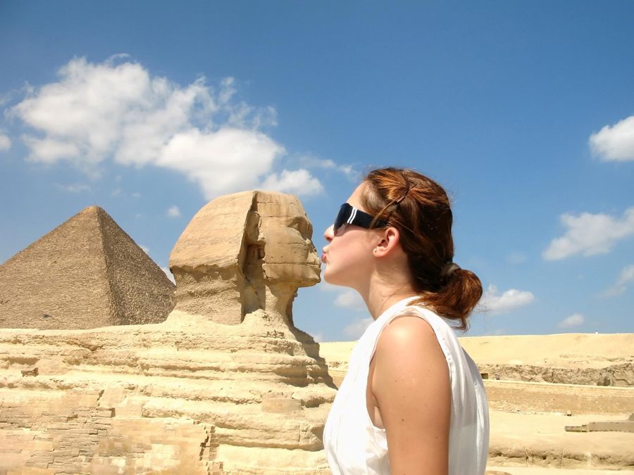
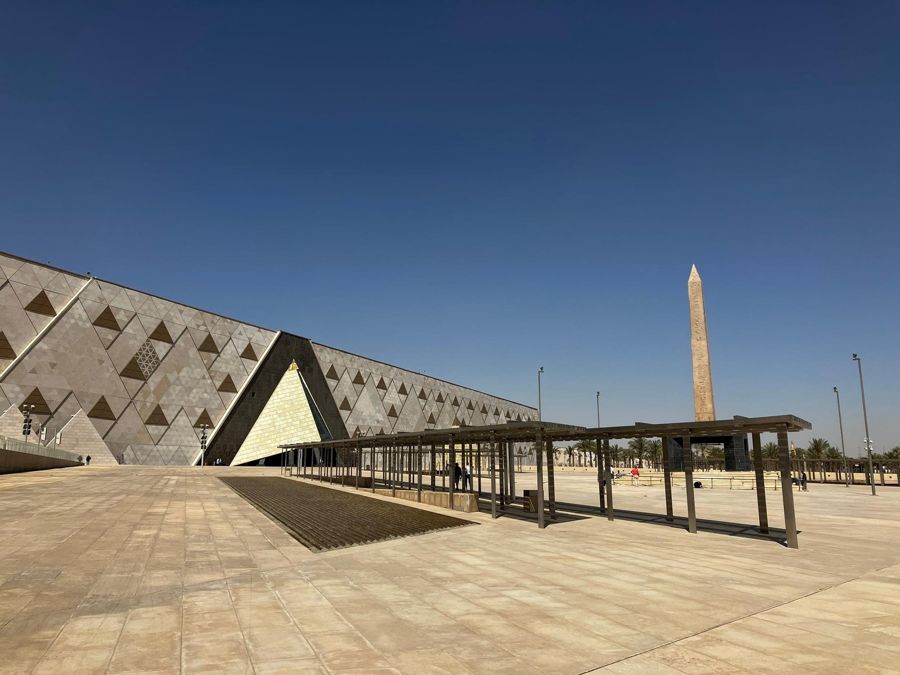
Private tour of the plateau and the Grand Egyptian Museum
- A guided tour explains what was here before the residential blocks: harbor, valley temple, causeway
- Seven hours private, with German-speaking guide, pickup, and lunch
- Entrance to the site is included
- Free cancellation up to 24 hours before start
The Border as an Administrative Process
- 1979
Inscription on the World Heritage List as "Memphis and its Necropolis, the Pyramid Fields from Giza to Dahshur".
- 1995
Egypt relocates a planned highway to the north, out of the area, and agrees to stop further residential construction at a peripheral settlement.
- 2021
Advisory mission on site. Topics: ring road, security project, redesign of the plateau, visitor management, and the missing buffer zone.
- 2022
Monitoring mission recommends keeping the area between the new museum and the site completely undeveloped.
- 2025
Conservation report: The buffer zone is to be defined in the first year of the new management plan; a planned walkway to the museum is deemed unacceptable.
The Missing Buffer Zone
The key point in this list is a gap: the site still has no defined buffer zone, meaning no designated strip around it where development is subject to its own rules. For a monument bordering one of the fastest-growing urban regions in the world, this is a remarkable gap, and the World Heritage Committee has been calling for it for years.
The latest state of conservation report notes two things that directly affect this picture. First, the buffer zone is now to be designated in the first year of the new management plan, meaning it is still missing. Second, a planned walkway between the museum and the site was assessed as an unacceptable intrusion into the cultural landscape, and the area in between should remain free.
Incidentally, this clears up a common misconception. The landmark of Cairo is not in Cairo. It is in Giza, a separate city on the west bank, and the administrative boundary between the two runs along the Nile.
What's Happening to the District Right Now
On the other side of the fence, things are currently in motion, and this affects exactly the houses that appear in the foreground of the well-known photos.
The district of Nazlet el-Semman borders the site directly. A development plan with a target year of 2030 envisions replacing part of the development and connecting the area to the plateau and museum as a pedestrian zone with smaller hotels and bazaar areas. Demolition has been underway since 2021.
The redevelopment is controversial. A detailed inventory from the district describes several thousand affected families, promised compensation that hasn't been paid out after years, and replacement housing offered as usage rights rather than ownership. Two lawsuits against the demolition decisions are pending in court, which has suspended further steps pending review. The work is not announced; its progress is only visible on site.
For travelers, this means one thing above all: the image this page is about is not permanent. The houses in the foreground may no longer be there in a few years.
Frequently asked questions
Are the pyramids really right in the middle of the city?
At the edge. To the east and north, development extends right up to the fence; to the west and south, open desert begins. The site itself is undeveloped.
Why do you never see houses in photos?
Because almost all well-known photos face west or southwest. The city is behind the camera.
How big is the difference between expectation and reality at the pyramids of Giza?
It affects the surroundings, not the structures themselves. Their size tends to be underestimated, while the isolation is significantly overestimated.
From where can you see the skyline of Giza together with the pyramids?
From the rooftops and terraces in the district east of the fence, with a long focal length. From inside the site, this picture is almost impossible.
Is the development at the fence disappearing?
Part of it, according to current plans, yes. The redevelopment of the neighboring district has been ongoing since 2021 and is legally controversial.